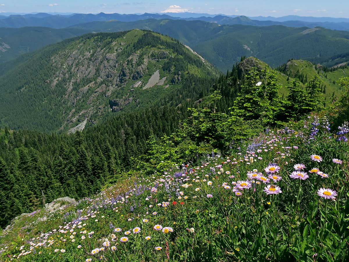
Silver Star Mountain sits just under 4,400 feet in the forests north of Vancouver, and its summer meadows are known for wildflowers and far-reaching views. Plan for a rough access road and changing mountain weather. Late June through early August usually offers the best combination of blooms and clear skies.
How Do You Reach Silver Star Mountain From Vancouver?
Silver Star Mountain lies in the forests north of Vancouver, roughly an hour or more by car depending on your route. Head north toward Battle Ground, then follow signed forest roads to the trailhead. Some access roads are gravel and can be rough after storms, so a higher-clearance vehicle helps.
Download offline maps before you leave, since cell service can disappear on the forest roads. Fill your tank before you climb, and check the road status with the national forest office before the drive.
When Do the Wildflowers Peak?
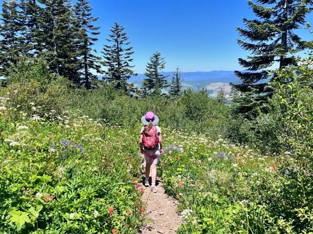
Wildflowers usually peak in mid to late summer, when meadows bloom and the snow has melted from higher slopes. Beargrass, lupine, and paintbrush are commonly seen across open areas, though timing shifts with snowpack and weather. Plan a late June or July visit for the best chance of color.
Bloom timing varies by year, so check recent trip reports before you choose a date. Bring a field guide or a plant app to name what you see, and avoid picking flowers, since they support pollinators.
What Views Can You Expect From the Summit?
On clear days, the summit offers views of several major Cascade peaks, including Mount St. Helens and Mount Adams. Mount Hood can also appear to the south on the clearest mornings. Haze, smoke, and cloud can hide the peaks, so check the forecast the day before.
Take a few minutes to identify peaks with a compass or map app, since many ridgelines look similar from a distance.
Do You Need a Pass to Park?
Many forest trailheads in this area require a recreation pass, such as a Northwest Forest Pass or a Discover Pass, depending on the land manager. Requirements vary by lot, so read the trailhead signs carefully. Confirm current rules before you drive, since fees and policies change.
Some recreation areas also post seasonal closures during fire season, so check alerts before you plan a visit. A quick call to the local ranger district can save a long drive. Bring a printed map too, since trailhead signs can be sparse.
How Hard Is the Hike?
The hike involves sustained climbing and changing terrain, so it suits hikers with steady fitness. Expect uneven footing, some exposed sections, and cooler air near the top. Bring trekking poles if you have them, and turn back if weather turns. Start early so you can finish before afternoon clouds build.
Pack more water than you think you need, since exposed meadows get hot in summer, and streams may not be safe to drink from without treatment.
When Should You Avoid the Mountain?
Winter access is limited, since snow often closes upper roads and trails from late fall into spring. Late summer fire season can bring smoke and closures. Check conditions before you commit, especially after heavy storms. Early summer visits may face lingering snow patches. Pick a day with a settled forecast for the best experience.
What Should You Bring for a Summit Day?
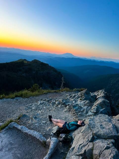 Bring layers, sun protection, water, a map, and a headlamp for the return trip. Weather on the summit can feel much colder than the parking area, even in July. Sturdy boots help on loose trail, and a light rain shell is a smart backup. Pack a thin hat and gloves for windy ridges.
Leave a note with your route and expected return time in the car or with a friend. Cell service is unreliable in the forest, so a simple plan helps rescuers if needed.
Frequently Asked Questions
How long does the hike to the summit take?
Plan for a half day or more, depending on your pace and how long you linger for views. Round trips often take several hours, especially if you stop for wildflowers. Start early, pack extra water, and leave time for the drive back down the forest roads.
Is Silver Star Mountain good for families?
Older children and experienced hikers usually handle the climb well, but younger kids may tire on steep grades. Rough access roads and exposed ridges call for close supervision. Bring plenty of snacks and water, and set a turnaround time before you leave the car. Consider a shorter route if your group includes very young children.
Can you visit the summit in winter?
Winter visits are generally not recommended unless you have snow travel experience. Roads and trails may be closed or impassable, and conditions change quickly. Check current road and trail alerts with the land manager before you consider a snowy trip, and carry appropriate gear if you go.