• Finding time to get your car professionally cleaned isn’t always easy. Between work, family, and everyday responsibilities, taking your vehicle to a detailing shop can feel like another chore.

    That’s why mobile car detailing in Vancouver, WA is a convenient option for busy drivers. Instead of driving to a shop and waiting for your car, a professional detailer comes directly to your home or workplace.

    At Prime Shine Mobile Auto Detailing in Vancouver, WA, we’ve spent more than five years helping customers throughout Vancouver, Portland, and surrounding communities keep their vehicles clean without interrupting their daily routines.

    Mobile Car Detailing Vancouver

    From my experience, mobile detailing isn’t just about cleaning cars. It’s about helping real people save time and solve everyday problems.

    Why Vancouver Customers Choose Mobile Car Detailing

    After years of working with local customers, I’ve noticed that everyone has a different reason for booking a mobile detailing service.

    Many of our customers are older adults who appreciate having someone come directly to their homes. They don’t want to drive across town, drop off their vehicles, or arrange transportation.

    Other customers are busy professionals who work long hours and would rather spend their free time with family or handling personal responsibilities.

    I completely understand that. When someone finally gets a day off, the last thing they want to do is spend several hours waiting for their car to be cleaned.

    Car Detailing at Your Home

    For homeowners in Vancouver, mobile detailing is straightforward. We arrive with professional equipment and can connect to available household water and electricity.

    Customers can relax at home, work remotely, or spend time with their families while we clean their vehicles.

    When we’re finished, they can inspect the results right in their driveway.

    Mobile Detailing at Work, Apartments, and Hotels

    Not everyone has a driveway or access to water and electricity. That’s why we prepare for different locations.

    When we’re detailing vehicles at workplaces, apartments, motels, or hotels, we bring our own water supply and generator.

    This allows us to perform mobile detailing at many locations without relying on the property’s utilities, provided there’s a safe workspace and permission to detail vehicles.

    How Does Mobile Car Detailing Work in Vancouver, WA?

    If you’ve never hired a mobile detailer, the process is simple.

    Step 1: Choose the Right Detailing Package

    Every vehicle is different. Some cars only need routine cleaning, while others require deeper attention because of stains, pet hair, odors, or accumulated dirt.

    For example, a well-maintained vehicle might only need basic interior cleaning. A family SUV with dirty carpets and heavily used seats may need professional shampooing and extraction.

    If your vehicle needs more attention inside, our mobile interior detailing in Vancouver, WA include options for routine cleaning and deeper interior care.

    Step 2: Schedule Service at Your Location

    Choose a suitable location where your vehicle can be safely detailed. This might be your driveway, workplace, or another approved property.

    We prepare the equipment needed for the location, including water and power when necessary.

    Step 3: We Detail Your Vehicle While You Continue Your Day

    Depending on the package, our work may include vacuuming, dashboard cleaning, carpet shampooing, upholstery cleaning, exterior washing, wheel cleaning, and paint protection.

    The service depends on your vehicle’s condition and the package selected.

    Step 4: Inspect Your Clean Vehicle

    When the work is finished, we want customers to inspect their vehicles and feel confident about the results.

    We take pride in our work and want customers to be satisfied before we leave.

    Watch Prime Shine Mobile Auto Detailing in Action

    Want to see more of what professional mobile auto detailing looks like? Watch our Prime Shine video below to get a closer look at our detailing business serving Vancouver, Washington, and the Portland area.

    Real Customers, Real Problems: Why Mobile Detailing Matters

    After detailing more than 1,000 vehicles, I’ve learned that customers don’t always hire us simply because their cars are dirty.

    They hire us because they have a problem they want solved.

    For some customers, it’s finding enough time in the day. For others, it’s avoiding the inconvenience of transporting their vehicle to a detailing shop.

    Older customers may appreciate not having to leave home. Busy professionals may prefer getting their cars detailed while working.

    Families may want to spend their weekends together instead of driving around town.

    These are the types of people we regularly serve.

    In my opinion, professional mobile detailing is about more than cleaning. It’s about delivering quality work while respecting the customer’s time.

    Can Mobile Car Detailing Be Done During Vancouver’s Rainy Weather?

    Living in Vancouver, Washington means dealing with plenty of rain, especially during fall and winter.

    One question customers often have is whether mobile detailing can still be performed when it’s raining.

    The answer is yes, many detailing services can still be completed with the right preparation and suitable weather conditions.

    We Use a Canopy for Rain Protection

    At Prime Shine, we use a protective canopy to shelter the vehicle and our work area when conditions allow.

    This helps us continue suitable detailing services during rainy weather.

    Rain doesn’t automatically mean a vehicle can’t be cleaned. However, strong winds, severe weather, and unsafe conditions may require rescheduling.

    Some Detailing Services Need Dry Conditions

    Interior cleaning and certain exterior maintenance services can often be performed with proper shelter.

    Paint polishing and correction require more controlled conditions because the surfaces and equipment must remain appropriately protected.

    Knowing which services can safely be performed in different weather conditions is part of professional detailing.

    Prime Shine Auto – Vancouver Car Detailing

    1309 NE 102nd Ave, Vancouver, WA 98664

    (360) 346-9940

    Mobile Auto Detailing in Camas, WA and Surrounding Communities

    Our mobile detailing service isn’t limited to Vancouver. We also serve nearby communities, including Camas and the greater Portland metro area.

    Customers in Camas can enjoy the same convenience of having professional detailing brought to their home or workplace.

    Whether you need interior cleaning, exterior care, or a complete detail, you can learn more about our mobile auto detailing services in Camas, WA and how we serve local drivers.

    What Should You Look for When Hiring a Mobile Car Detailer?

    After more than five years in the detailing industry, my biggest advice is simple: look at the quality of the detailer’s work and whether they have the proper equipment to complete the job.

    Just because someone offers mobile detailing doesn’t mean they’re prepared to handle every vehicle or cleaning situation.

    Look at Their Previous Work

    Before booking, check the detailer’s before-and-after photos, customer reviews, and examples of completed jobs.

    These can help you understand the type of results you should reasonably expect.

    Make Sure They Have the Right Equipment

    A professional mobile detailer should have equipment appropriate for the services being offered.

    Depending on the job, this may include:

    • Professional vacuums for interior cleaning
    • Carpet and upholstery extraction equipment
    • Pressure washing equipment for exterior cleaning
    • Appropriate detailing chemicals and tools
    • Water and power equipment for mobile locations
    • A protective canopy for suitable rainy-weather services

    At Prime Shine, we’ve invested in equipment that helps us perform detailing services at homes, workplaces, and other suitable locations.

    Understand Basic Cleaning Versus Deep Detailing

    A basic interior detail is generally designed for vehicles needing routine maintenance.

    A deeper detail may include carpet shampooing, stain treatment, upholstery cleaning, and additional time spent on heavily soiled areas.

    If your vehicle has pet hair, significant stains, odors, or heavy dirt buildup, explain its condition before booking so the detailer can recommend the appropriate package.

    Is Mobile Car Detailing Worth It in Vancouver?

    In my opinion, mobile detailing is worth considering when you value convenience and professional cleaning.

    Think about the time involved in taking your vehicle to a traditional detailing shop.

    You may need to drive there, arrange transportation, wait for the service, and return to pick up your car.

    With mobile detailing, much of that inconvenience disappears.

    For busy professionals, older adults, families, and people working from home, that convenience can make a real difference.

    However, convenience should never come at the expense of quality. That’s why I encourage customers to consider workmanship, experience, and equipment instead of choosing solely based on price.

    Frequently Asked Questions About Mobile Car Detailing in Vancouver

    Do I Need to Provide Water or Electricity?

    At residential properties, we can connect to available household utilities. At apartments, workplaces, hotels, and motels, we can bring our own water and generator.

    Can You Detail My Car While I’m at Work?

    Yes, as long as the property allows detailing and there’s a safe, suitable place to work. You can continue your workday while your vehicle is cleaned.

    Can You Detail My Car at an Apartment Complex?

    Apartment detailing may be possible depending on the available space and property rules. We can bring our own water and power when needed.

    Can You Detail Cars During Vancouver’s Rainy Season?

    Yes. We use a canopy for suitable services when conditions allow. Severe weather or services requiring dry conditions may require rescheduling.

    How Long Does Mobile Car Detailing Take?

    It depends on your vehicle’s size, condition, and selected package. A routine cleaning generally takes less time than a full interior and exterior detail involving shampooing or extensive stain treatment.

    Is Mobile Detailing Better Than a Regular Car Wash?

    Mobile detailing generally provides more thorough cleaning than a basic automatic car wash. Depending on the package, detailing can include interior surfaces, carpets, upholstery, wheels, and exterior protection.

    What Areas Around Vancouver Do You Serve?

    Prime Shine provides mobile auto detailing in Vancouver, Camas, Portland, and surrounding communities. Contact us to confirm service availability for your specific location.

    Book Professional Mobile Car Detailing in Vancouver, WA

    At Prime Shine Mobile Auto Detailing, we believe professional car cleaning should be convenient without sacrificing quality.

    With more than five years of experience and over 1,000 vehicles served, we’ve learned that customers appreciate professional workmanship, dependable equipment, and the convenience of having their vehicles cleaned at home or work.

    Whether you’re a busy professional, an older customer who prefers service at home, or someone who wants to enjoy more free time, mobile detailing offers a practical solution.

    We bring our equipment, prepare for the location, and take pride in every vehicle we clean.

    Choose the detailing package that fits your vehicle, and let our team bring professional car care directly to your door.

  • First-Time Visitor Tips for Vancouver WA (and How Not to Confuse It with Vancouver BC)

    Vancouver, Washington sits just across the Columbia River from Portland, Oregon, and it is not the Canadian city of Vancouver, British Columbia. Knowing that difference saves time, booking errors, and border confusion. These tips cover the basics for a smooth first trip.

    How Is Vancouver WA Different from Vancouver BC?

    Vancouver, Washington is a U.S. city in Clark County, directly across the Columbia River from Portland, Oregon. Vancouver, British Columbia is a separate city in Canada, reached by a long drive north across an international border. The two share a name but not a government or currency.

    If you fly in, double-check the destination on your ticket and rental car. Enter “Vancouver, WA” or the full address in every booking, and confirm the state before you pay. A small mix-up can cost hours of travel time.

    Which Airport Should You Fly Into?

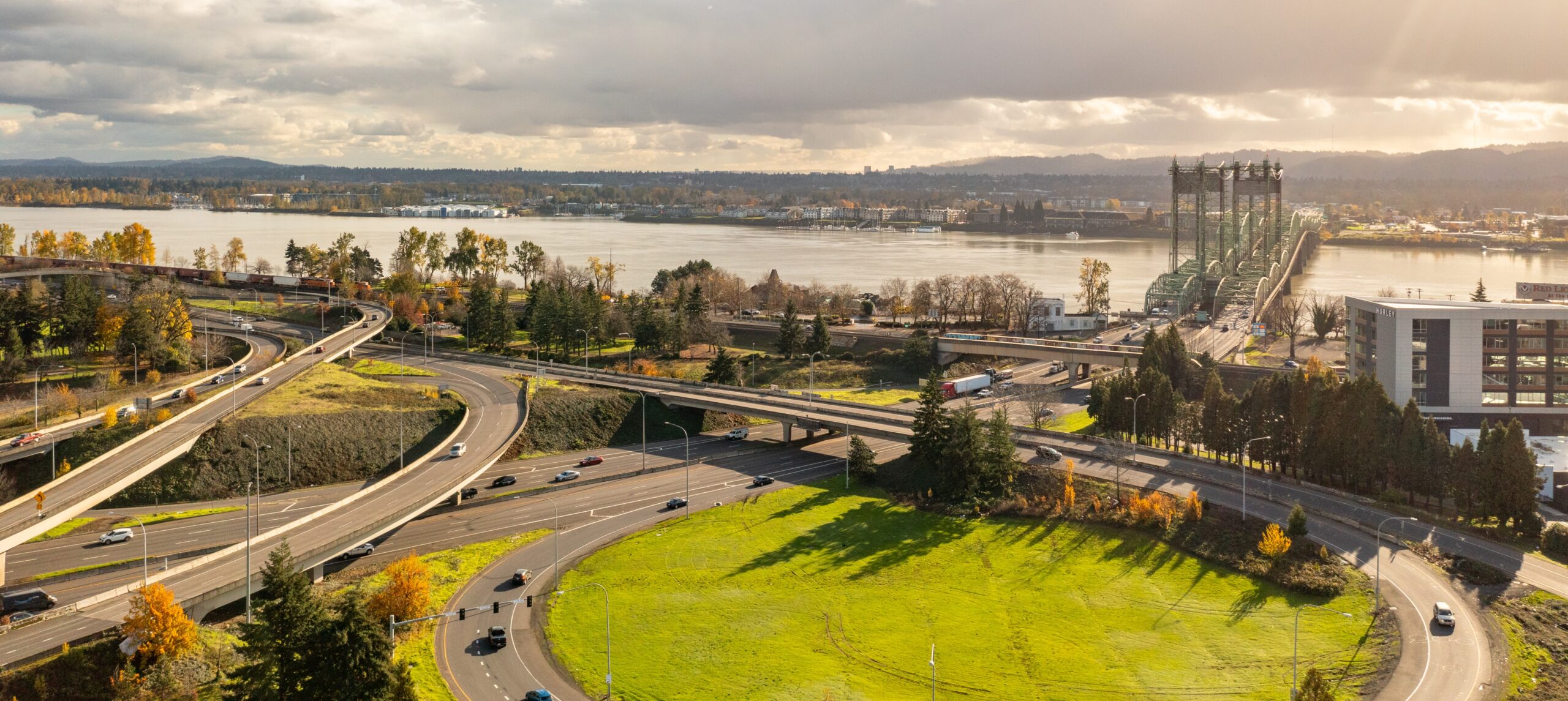
    Most visitors fly into Portland International Airport, which serves the Vancouver area well. Vancouver, Washington does not have a major commercial airport of its own. Plan on a short drive or transit ride across the Interstate Bridge. Allow extra time for bridge traffic when you leave the airport.

    Travelers who mean Vancouver BC usually arrive at Vancouver International Airport, which sits in Canada. Check that your itinerary lists the Washington city before you book. A mix-up here can lead to missed flights and unexpected border procedures. Border crossings require passports, so pack accordingly.

    Ride-hailing services and taxis also handle airport transfers, so compare pickup options before you land.

    What Should You Book Before You Arrive?

    Book lodging early for summer weekends, festival dates, and holidays, when rooms can fill quickly. Confirm the full address and the nearest landmark, since similar place names exist in many cities. Save your confirmation in your phone and a printed copy in your bag.

    Check your rental car pickup location, too, since airport counters and downtown branches may differ. Download offline maps for both Vancouver cities, so the route on your screen matches the place you are heading. Double-check the state on every address.

    What Landmarks Help You Find Your Way?

    Fort Vancouver National Historic Site and the Columbia River waterfront anchor the city’s historic side. Downtown centers on Esther Short Park, which makes a helpful reference point for many stops. The Columbia River itself is your clearest orientation guide, since Portland lies to the south.

    Learn a few major roads, such as Interstate 5 and Interstate 205, before you drive. Confirm your route on a map, since bridge access is limited to a few crossings. Ask your hotel for directions from the freeway to avoid confusion.

    Are There Local Habits Worth Knowing?

    Visitors will find Vancouver’s pace relaxed, with friendly service and few formalities. Tipping follows U.S. norms, so plan to leave a standard tip at restaurants and for many services. Greeting staff and following posted signs goes a long way. Bring some cash for small vendors, since not every stall takes cards.

    Expect the same U.S. driving rules, including right turns on red after a full stop unless signs prohibit them. Use crosswalks and watch for cyclists. Speed limits are posted in miles per hour, so check your speedometer. Parking rules are enforced, so read signs before you step away.

    What Should You Pack for Your First Trip?

    Pack for changeable weather, since Vancouver’s temperatures can vary across a single day. A light rain jacket, comfortable walking shoes, and layers cover most situations. Bring a reusable water bottle and a compact umbrella for showers. Include a photo ID, since you may need it for lodging check-in or airport security.

    Carry the addresses you need offline, in case your signal drops. Crossing into Canada requires documents such as a passport, so check current rules before any side trip. Keep your lodging details and the Interstate Bridge name handy in case you need directions.

    Frequently Asked Questions

    Is Vancouver WA part of Vancouver BC?

    No, they are separate cities in different countries. Vancouver, Washington is in the United States, and Vancouver, British Columbia is in Canada. The two sit a long drive apart, so always check the state or country in your bookings and travel documents.

    Do I need a passport to visit Vancouver WA?

    Domestic travelers from the United States do not need a passport to visit Vancouver, Washington. A valid government photo ID is useful for hotel check-in and flights. Visitors from other countries should check entry requirements with official government sources before traveling to the United States.

    What is the easiest way to avoid confusion when booking?

    Type Vancouver, WA into booking forms and select Washington from the state drop-down. Confirm the street address and the map pin before you finalize. Keep a note of the airport and bridge names you plan to use. Double-check the confirmation email the day before you travel, too.

  • Free and Budget-Friendly Things to Do in Vancouver WA

    Vancouver, Washington offers plenty of outdoor and historic experiences that cost nothing or very little. Many of the best options are parks, trails, and waterfront spaces open to everyone. Here is how to plan a low-cost visit without missing the highlights.

    Which Historic Sites Are Free to Explore?

    Fort Vancouver National Historic Site is one of the most rewarding free stops in town, with reconstructed buildings and interpretive trails. Visitors can usually walk the grounds without charge, though some programs may carry fees. Check the official site before you go to confirm current admission rules.

    Officers Row is another no-cost option, since the historic homes line a public street you can stroll. Read the markers, admire the architecture, and then walk to the riverfront. Visit during the morning for quieter sidewalks and softer light for photos. Bring water in warm weather.

    Which Waterfront and Park Spaces Are Free?

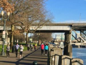
    Vancouver Waterfront Park, Grant Street Pier, and Esther Short Park are all free to visit. Together they offer river views, benches, and open lawns for picnics or quiet reading. Plan a sunset stroll or a midday break, since each space suits a different pace.

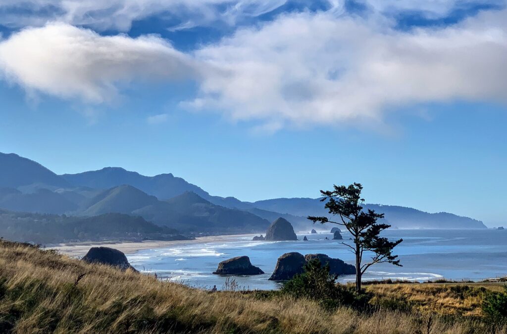
    Bring your own picnic to save money, since nearby food options can add up quickly. Look for seasonal events in downtown parks, some of which are free and include music or market activity. Check the city’s event calendar to see what’s on before you head out.

    Can You Enjoy Trails Without Spending Money?

    Yes, the Columbia River Renaissance Trail and Burnt Bridge Creek Trail offer free walking and biking routes through the city. Both trails are popular with locals for exercise. Trail access is free, so you can start or stop at any point along the route.

    Vancouver Lake offers shoreline walks and water views at little cost, though some parking areas or amenities may charge fees. Pack a snack and check park rules before you visit. Early mornings are often calm, and birdsong adds to the experience.

    Are There Low-Cost Indoor Options?

    Yes, several indoor options keep costs low, especially if you plan around free admission times or reduced-price days. Libraries often offer free visits, reading areas, and public events. Check each venue’s website for current policies, since discounts change. Ask at the front desk too.

    The Pearson Air Museum and the Fort Vancouver visitor center may charge admission, so confirm before you go. Weekday morning visits often feel calmer and make budget planning easier. Ask whether either site offers discounts for seniors, students, or families.

    Seasonal exhibits and talks sometimes run without charge, so watch event listings. Some libraries also lend items such as books and passes, which can stretch your entertainment budget.

    How Can You Eat Well on a Budget?

    Pack a picnic from a grocery store, then enjoy it at a waterfront or park bench. This approach saves money and gives you flexibility with timing. Farmers markets, when in season, offer fresh fruit and snacks you can mix into a picnic.

    Look for casual eateries downtown, where portions and prices may suit a lighter budget. Compare menus online before you go, and pick up a coffee or pastry for a quick breakfast. Bring a reusable bottle to fill up during your walks.

    How Do You Plan a Full Free Day?

    Start with the historic core in the morning, when temperatures are cooler and sidewalks are quieter. Move to the waterfront for lunch with a packed picnic, then finish with a trail walk. This route keeps transportation costs minimal. Walk between stops when distances allow.

    Keep an eye on weather and adjust plans if needed, since outdoor sites are most enjoyable on dry days. Carry a small reusable bag, a water bottle, and a light jacket, so you can stay comfortable without buying extras. Pick one indoor backup from the list above.

    Frequently Asked Questions

    Can you explore the fort grounds without paying?

    Many visitors walk the grounds and see the main sights at no cost, but some programs, tours, or special events may charge fees. Check the official National Park Service site before you visit, since admission rules can change. Plan a visit that fits your budget.

    Is parking free in downtown Vancouver?

    Parking rules vary by block, so street spaces may be metered or time-limited. Some lots and garages charge fees, while others may offer lower rates for longer stays. Read posted signs and check the city’s website before you park. Plan extra time to find a space.

    What is the best free activity for families?

    The waterfront is a strong choice for families, with open space, river views, and room to walk. Esther Short Park offers a central place to rest between activities. Pack snacks and sunscreen, and plan shorter outings for younger children. Bring a light blanket for picnics on breezy afternoons.

  • Vancouver WA vs Portland: Which Makes a Better Base for Your Trip?

    Portland usually makes the better base for big-city nightlife, major museums, and a wide range of dining. Vancouver, Washington works better for lower-key trips, historic sights, and visitors who want easy access to the Columbia River. Your priorities decide the winner.

    How Do the Two Cities Compare on Size and Feel?

    Portland is Oregon’s largest city and has a dense, busy downtown with a large arts and food scene. Vancouver is smaller, with a historic core along the river and a more relaxed pace. Both cities sit near the Columbia River and are close enough for easy day trips.

    Portland has more hotel options, more nightlife, and a larger transit network. Vancouver offers a calmer evening scene and often fewer crowds at popular sites. Choose based on whether you want energy or breathing room. Neither is wrong, and both can work well for a three-day trip.

    Which Base Offers Better Lodging Choices?

    Portland offers a wider range of hotels, from budget chains to boutique properties, which can give you more options at many price points. Vancouver has fewer choices, though its downtown and Uptown areas still offer solid lodging. Compare both markets for your dates.

    Prices in both cities shift with season, conventions, and major events. Vancouver stays can sometimes cost less, but results vary by date. Compare both markets for the same dates before assuming either city is cheaper. Fees and taxes differ by location, so read the final total before booking.

    Is Getting Around Easier in Portland or Vancouver?

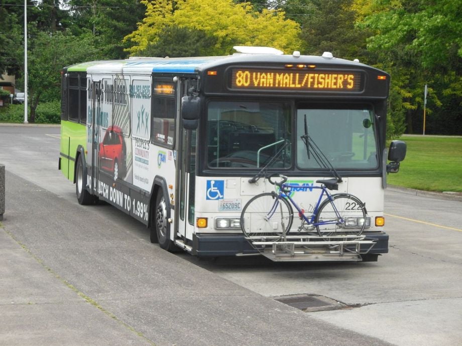
    Portland offers a larger public transit network, including MAX light rail and streetcar lines. Vancouver relies more on C-TRAN buses and The Vine, with a compact historic core that suits walking. Driving can be simpler in Vancouver for trips beyond downtown, especially to Camas and Ridgefield.

    If your plans centered on Portland neighborhoods, a Vancouver base means crossing the river daily. Plan for bridge traffic, especially during commute hours. Ride-share and transit both work, but allow extra time for crossings. A single crossing each way is manageable with some planning.

    Which Base Works Better for Day Trips?

    Vancouver works better for day trips to Camas, Ridgefield, and Battle Ground, since those towns sit closer to the city. Portland puts you within reach of the Columbia River Gorge, Mount Hood, and the Oregon coast, though drives are longer.

    Think about your route before choosing. A Vancouver base can save time on Washington-side trips, while a Portland base may suit longer Oregon excursions. Check drive times on a map for your planned stops. Mount Hood and the coast often need a full day each.

    How Do You Choose Based on Your Travel Style?

    Choose Portland if you want nightlife, large museums, and frequent events. Choose Vancouver if you want a quieter stay, historic sites, and riverfront walks. Families and budget-minded travelers often prefer Vancouver’s calmer pace, while food-focused visitors may enjoy Portland’s broader options.

    Be honest about your energy level. Portland rewards an active schedule with options around every corner, while Vancouver suits slower days and an early bedtime. Pick the base that matches how you actually travel. Both cities reward curious travelers who ask locals for suggestions.

    Can You Split Your Trip Between Both Cities?

    Yes, splitting a trip works well for some travelers. Start in Vancouver for the historic sights, then move to Portland for city energy. Check whether each lodging has parking and transit access before you commit. Plan the move on a day with light traffic, and allow time for checkout.
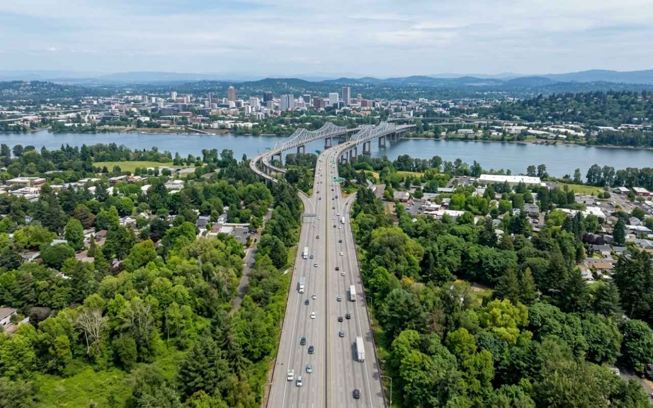
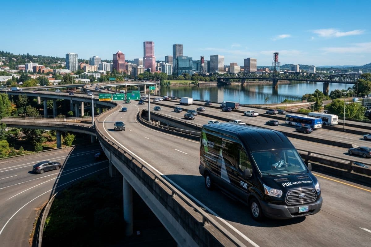
    Splitting a trip adds packing and check-in time, so keep the stays long enough to make the move worthwhile. Two nights in each city often works well for a trip of four or five days.

    Splitting also gives you two different neighborhood experiences in one trip. Pack light, since the move will involve carrying bags between stays.

    Frequently Asked Questions

    Can lodging costs be lower in Vancouver WA than Portland?

    Sometimes, but it depends on the dates and the property. Prices shift with events, seasons, and demand, so comparing identical dates is the only reliable method. Factor in parking, fuel, and any extra travel time when you compare totals. Ask about fees too.

    Which city is easier for a first visit?

    Portland is often easier for first-time visitors who want many attractions in one place and frequent transit options. Vancouver suits travelers who want a manageable scale and a relaxed river walk. Either choice works, so decide by how much time you want to spend traveling between sights.

    Do I need a special ID to cross between the two cities?

    No passport is needed, since both cities are in the United States. Carry a driver’s license or other government photo ID for hotel check-in or airport security. Crossing by car or transit is a domestic trip with no border inspection.

  • Getting from Portland International Airport (PDX) to Vancouver WA

    The fastest way from Portland International Airport to Vancouver, Washington is usually a rideshare, taxi, or rental car across the Interstate Bridge. Public transit is also possible but takes longer and requires transfers. This guide explains each option so you can pick the one that fits your budget and luggage.

    What Is the Drive Like from PDX?

    The drive from PDX to downtown Vancouver typically crosses the Columbia River on Interstate 5 or Interstate 205. Traffic can slow during commute hours, so allow extra time. The Glenn Jackson Bridge on I-205 and the Interstate Bridge on I-5 both connect the two cities.

    Drive times vary widely, so check a live traffic app before you leave the airport. Both bridges can back up during morning and evening rush periods. Consider timing your arrival outside those windows if you have flexibility. Rideshare pickup areas can be busy, so follow posted signs.

    Are Rideshares and Taxis the Easiest Option?

    Rideshares and taxis are the simplest choice for most travelers with luggage or a group. Fares depend on demand, distance, and time of day, so compare estimates before you request a ride. Pickup points at the airport follow posted signs.

    Splitting a ride among two or more travelers can lower the cost per person. Confirm the drop-off address before you get in, and ask the driver about the bridge route if traffic looks heavy. Keep your phone charged so you can share your trip details.

    Can You Use Public Transit from PDX?

    Yes, public transit can connect PDX with Portland and then with Vancouver, though the trip usually involves transfers. TriMet’s MAX light rail serves the airport and downtown Portland. From there, you can connect to bus service that crosses into Washington.

    Transit takes longer than a car, and luggage can make the trip harder. Check current routes and fares with both agencies before you travel, since service patterns change. Allow a generous buffer if you have a flight to catch. Transit agencies can answer route questions by phone or online.

    Is Renting a Car a Smart Move?

    Renting a car makes sense if you plan day trips to Camas, Ridgefield, or the Gorge. It also helps if you travel with several people or heavy gear. Compare rental locations on and off airport property, and check the total cost, including fees.

    Remember that parking in Vancouver costs time and money at some locations. Ask about tolls, mileage limits, and fuel policies when you book. Keep your rental agreement in the glovebox, and photograph any existing dents before you drive away.

    What Should You Know About Timing Your Arrival?

    Timing matters more than most travelers expect. Morning and late afternoon commute periods can add significant time to any road trip from the airport. Aim to land or depart outside those windows when your schedule allows. Mid-morning and mid-afternoon often feel calmer on the highways.

    Airport arrivals can also be busy around holidays and major events, so build in extra time for lines and baggage claim. Check your flight status and the bridge traffic before leaving the terminal. Download the airport’s map before you land so you know the exit route.

    Which Option Fits Your Trip Best?

    Rideshares suit travelers who want door-to-door service and have bags. Transit fits budget-minded visitors with light luggage and time to spare. Rental cars work best for groups who plan day trips beyond the city core. Taxis remain an option when you prefer a traditional cab.
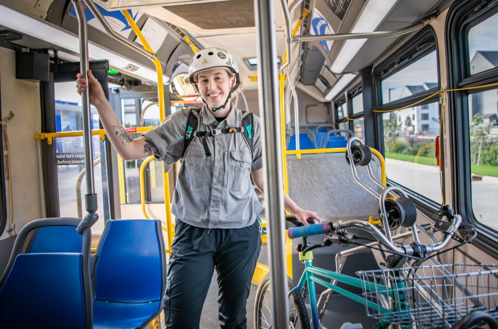
    Whichever you choose, confirm the arrival terminal, keep a backup plan, and save your lodging address offline. Save directions before you go, in case your signal drops. Share your arrival details with anyone meeting you.

    Are Airport Transfers Easy with Luggage or Mobility Needs?

    Rideshares and taxis offer the most direct door-to-door access for travelers with heavy bags or mobility needs. Request a vehicle type that suits your needs when the app allows it. Transit may involve stairs or long walks, so plan extra time if you use a wheelchair or walker.

    Confirm accessibility features with each transit agency before you travel, including elevator status and ramp availability. Ask rental companies early about accessible vehicle options. Pack light, and use a wheeled bag with a sturdy handle for smoother curb transitions.

    Frequently Asked Questions

    How long does the trip usually take?

    Travel time depends heavily on traffic, the time of day, and your pickup point. Off-peak drives tend to be quicker than those during commute hours, when bridge traffic can back up. Check a live traffic app before you leave the airport. Leave more time for transit, which involves waiting and transfers.

    Do I need to change buses to reach Vancouver?

    Possibly, depending on your route and the schedule that day. Some combinations of Portland and Vancouver bus service may require a transfer, while others connect directly across the river. Confirm the current options with the transit agencies before you depart.

    Is a rideshare or taxi cheaper than a rental car?

    Costs vary with distance, time of day, and how many people share the ride. A single traveler may find one ride cheaper than renting a car for only a short stay. Factor in parking, fuel, and fees before you decide. Compare totals, not just the quoted price.

  • Getting Around Vancouver WA: Driving, C-TRAN Buses, The Vine and Biking

    Driving is the most flexible way to explore Vancouver, Washington and nearby Clark County. C-TRAN buses and The Vine bus rapid transit cover many core routes, and biking works well on flat, paved paths along the river. Choose the mix that matches your schedule and comfort level.

    How Easy Is Driving Around the Area?

    Driving gives you the most freedom, especially for trips to Camas, Ridgefield, Battle Ground, and the Gorge. Main roads connect downtown with the surrounding towns, and traffic is usually heaviest during commute hours. Plan extra time when crossing the Columbia River bridges to Portland.

    Parking varies by location. Downtown has metered and time-limited spaces in many blocks, while parks and trailheads usually offer lots. Have a payment method ready, since payment options vary by meter. Read posted signs carefully, and check the city’s website for current rules before you park.

    How Do C-TRAN Buses Serve Visitors?

    C-TRAN is the regional public transit agency serving Clark County, and its buses reach many downtown stops and neighborhoods. Routes run on fixed schedules, so check timetables before you head out. Fares and passes change over time, so confirm current payment options on the agency’s website.

    Buses are a practical choice for a car-free day, especially if you plan to stay near the core. Pick up a route map at a transit center or download the schedule ahead of time. Allow extra time on weekends, when service can differ from weekday patterns.

    What Is the Vine and Where Does It Run?

    The Vine is C-TRAN’s bus rapid transit system, designed for faster trips with fewer stops along major corridors. It runs along busy routes such as Fourth Plain Boulevard, which connects several neighborhoods. Look for the branded stations, and check the system map before you board.

    Riders heading toward Uptown Village or other east-side destinations may find The Vine handy, but confirm stop locations first, because routes and stations change over time. Plan trips around the schedule, since frequency can vary by time of day. Pair the ride with a walk for the last stretch.

    Is Biking a Good Option for Visitors?

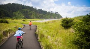
    Yes, biking is a strong option for flat riverside routes and paved trails. The Columbia River Renaissance Trail and Burnt Bridge Creek Trail offer scenic, car-free paths through the city. If you plan to rent a bike, reserve ahead, especially on weekends. Carry water on longer rides.

    Bring a helmet, a lock, and a basic repair kit if you ride your own bike. Wear bright clothing when you share roads, and follow Washington’s bicycle rules. Check the current trail map before departure, since construction may close sections. Ride single file and signal turns clearly.

    How Do You Combine Modes for Day Trips?

    Some visitors combine modes by driving to a park-and-ride, then riding a bus or biking the final stretch. This approach avoids parking headaches at busy waterfront spots. Check transit timetables first, because rural routes often run less frequently. Store snacks and a light jacket in a small backpack before you start.

    Keep the plan flexible, and bring a small pack for snacks and rain gear. Build in buffer time for transfers, and keep your phone charged for route apps. Expect some delays, especially on weekends, and let the day unfold at a comfortable pace.

    Which Option Fits Your Trip Best?

    Driving suits families, day-trippers, and anyone carrying gear. Buses work for car-free city days and budget travelers who stick to central routes. Biking rewards riders who enjoy flat, scenic paths and short distances. Many trips mix all three, so keep each option open as you plan.

    Check current schedules and route maps before each day, since transit service changes. Confirm bike rules and parking details on official sites before you go. Choose the mix that fits your energy, your budget, and your tolerance for surprises.

    Frequently Asked Questions

    Can you get around Vancouver WA without a car?

    Yes, for city sightseeing, especially downtown and near the riverfront. C-TRAN buses and walking cover many core stops, and rideshares fill gaps. Day trips to Camas, Ridgefield, or the Gorge are harder without a car, so plan a tour or rental if needed. Check schedules first.

    Is The Vine faster than a regular bus?

    The Vine is designed to move riders more quickly along its corridors, with fewer stops than standard routes. Actual travel times depend on traffic and the specific trip. Compare the trip planner or the printed schedule before deciding, and allow extra time for transfers.

    Is biking around the area practical for visitors?

    Biking works well on the riverfront and paved trails, which are separated from heavy traffic in many places. Busier streets require more caution, so choose routes with bike lanes when possible. Wear a helmet, use lights at dusk, and check conditions before setting out.

  • Where to Stay in Vancouver WA: Neighborhoods Compared for Visitors

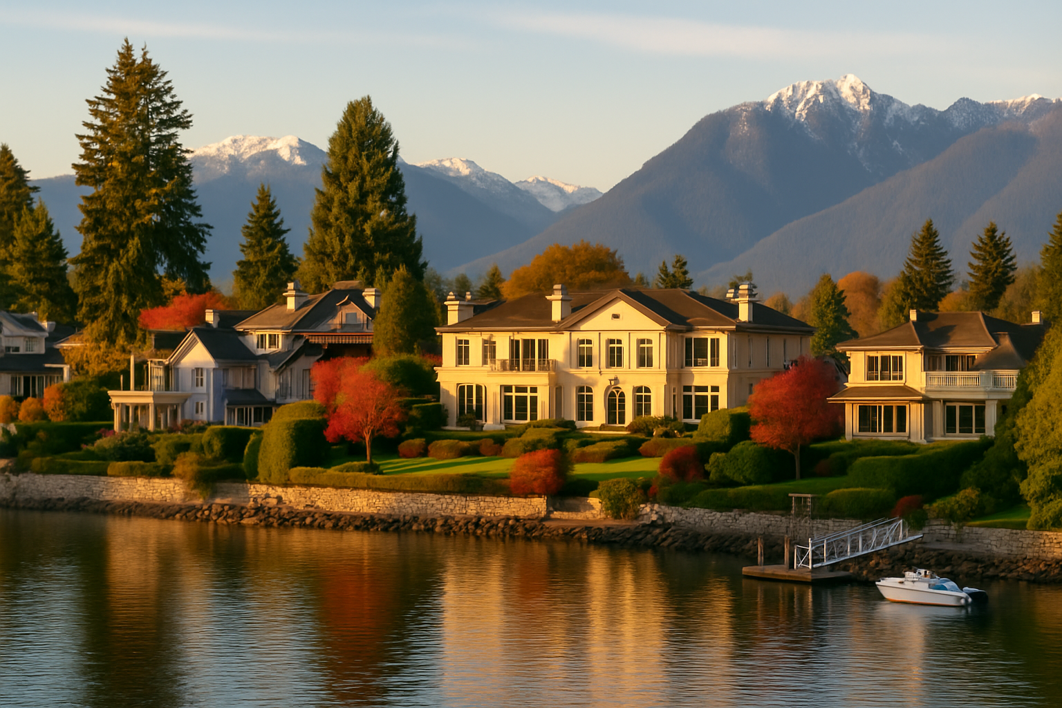
    Downtown Vancouver is the best base for most first-time visitors because the main sights sit within easy reach. Uptown Village and the neighborhoods near Vancouver Lake offer quieter or more residential options. This guide compares each area so you can match your stay to your plans.

    Is Downtown Vancouver the Right Base?

    Downtown Vancouver puts you within walking distance of Esther Short Park, the waterfront, and many restaurants and shops. It is the most convenient area for visitors who want to explore on foot. Hotels and rentals range from older buildings to newer properties, so compare options before booking.

    The trade-off is noise and parking. Central streets can be busy during events, and parking may come with time limits or fees. Ask about parking when you book, and confirm current rules before you park. Light sleepers should ask for a room away from the street.

    Downtown’s historic buildings and waterfront views are a big draw, and the Vancouver Land Bridge offers a scenic walk between districts. Plan on a short walk to reach most downtown stops, which keeps your daily routine simple.

    What Makes Uptown Village a Good Choice?

    Uptown Village is a neighborhood shopping and dining district a short drive from downtown. It suits visitors who prefer a calmer evening. Many stays here work well for travelers with a car who plan day trips to Camas, Ridgefield, or the Gorge.

    Expect a more residential feel than downtown, with fewer late-night crowds. Check whether your lodging includes parking and breakfast, since amenities vary widely across properties. Verify the walking and driving times on a map before you book. Ask the property directly about transit access.

    Are the Neighborhoods Near Vancouver Lake Worth It?

    The area around Vancouver Lake suits visitors who want open green space, water access, and a slower pace. Lodging here tends to be more limited than downtown, so book early. A car is almost essential, since the lake sits outside the core.

    Plan for a relaxed pace. Vancouver Lake has water views and open spaces, but services may be spread out, so bring supplies. Burnt Bridge Creek Trail offers a walkable link to other parts of the city for those who want to explore.

    Should You Stay in Camas or Ridgefield?

    Camas and Ridgefield suit visitors who want small-town character and easy access to nature. Both towns sit a short drive from Vancouver, so you can enjoy quieter evenings and still reach the city. Expect fewer hotel options and plan for more driving.

    Camas often appeals to those who like walking downtown and visiting its lake. Ridgefield works well for early birdwatchers and nature lovers. Compare lodging options, since rates and availability shift with the season, and confirm which towns offer the amenities you need.

    How Do You Choose Between Neighborhoods?

    Match the area to your priorities. Choose downtown for walkable sights, Uptown Village for a calmer evening, and the lake area for open space and a car-based trip. Book early for summer and event weekends, when rooms tend to fill.
    Compare total costs, not just nightly rates, by factoring in parking, fuel, and transit time. A cheaper room far from your plans can cost more in time and driving. Read recent reviews for noise and cleanliness, then decide. Ask direct questions before you commit.

    What Should You Check Before You Book?

    Confirm the cancellation policy, parking details, and check-in times before you pay. Ask whether the property offers a shuttle or easy access to bus routes. Read the fine print on fees, since some lodgings add charges that surprise guests. Save screenshots of your confirmation.

    Look at the map before you select a place, and measure the walk to your first stop. Commute hours can slow drives, so add a buffer. Keep a copy of your booking details on your phone, too. Good lighting and quiet rooms matter for light sleepers, so ask about both.

    Frequently Asked Questions

    Is it better to stay downtown or near Uptown?

    Downtown suits visitors who want walkable sights, dining, and easy access to the waterfront. Uptown is better for those who prefer quieter evenings and a short drive to the core. Your choice depends on whether you plan to walk or drive most days. Compare both areas on a map before deciding.

    Do I need a car when staying in Vancouver WA?

    A car helps for lake visits, Camas, Ridgefield, and the Gorge. Visitors who stay downtown and plan city sightseeing can often manage with buses, rideshares, and walking. Check bus routes and schedules from C-TRAN before you commit to a car-free plan.

    How far in advance should I book?

    Book at least a few weeks ahead for summer, festival weekends, and holidays, when rooms tend to fill. Shoulder seasons offer more flexibility, so you can wait and compare options. Check cancellation terms before paying, and confirm details directly with the property.

  • The Best Time of Year to Visit Vancouver WA

    Late spring and early fall offer the best mix of mild temperatures and manageable crowds in Vancouver, Washington. Summer brings the driest weather, while winter is quieter but wetter. The right choice depends on whether you want outdoor time, events, or fewer people.

    Is Spring a Good Time to Visit?

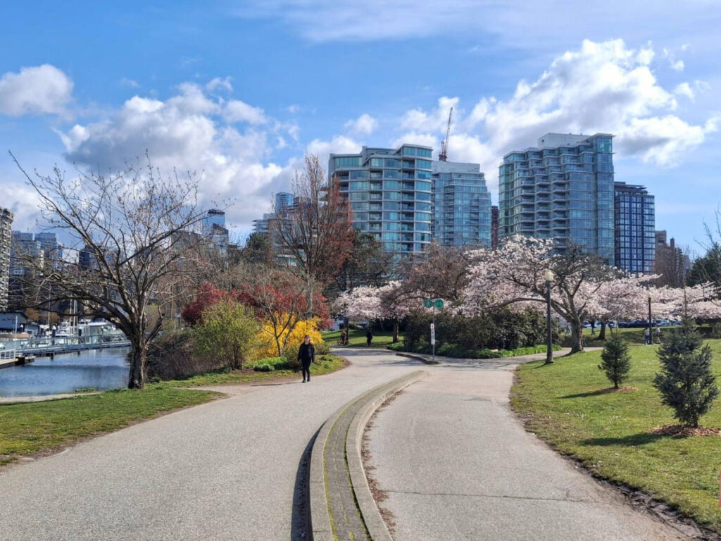
    Spring suits visitors who enjoy green trails and mild walking weather. Expect showers, so pack a light rain jacket. Blooms along local paths make walks especially pleasant, and crowds are usually lighter than in midsummer. Check the forecast before each outing.

    Spring is also a good season for the Columbia River Renaissance Trail and Burnt Bridge Creek Trail. Waterfront paths are often quieter on weekdays, and the mix of rain and sun can make for dramatic river views. Bring waterproof shoes, since trails can get muddy after a storm.

    Why Is Summer the Driest Season?

    Summer offers the driest and sunniest stretch of the year, which suits festivals, river outings, and long evenings outdoors. Vancouver’s summer days are usually warm, though heat waves can occur. Book lodging early, since summer is a busy travel season across the region.

    Vancouver Lake and the waterfront are popular in summer, so plan for parking and crowds on weekends. Start outdoor activities early in the day to avoid the warmest hours. Carry water, sunscreen, and a hat, and check the local forecast for heat advisories.

    Is Fall a Good Time for Outdoor Trips?

    Early fall is one of the most comfortable times to visit, with warm afternoons and cooler nights. Crowds thin after the summer peak, and fall color appears in the surrounding hills and parks. Plan for rain later in the season, and bring layers for chilly mornings.

    Fall suits visitors who want to pair a city visit with a Gorge day trip, since the scenery changes with the season. Ridgefield’s wildlife refuge also draws birdwatchers as waterfowl numbers rise later in the year. Dress in layers and check the forecast the morning you leave. Fall foliage timing varies by year, so treat it as a bonus rather than a promise.

    Should You Visit Vancouver WA in Winter?

    Winter works well for travelers who enjoy quiet museums, cozy cafes, and indoor plans. Expect rain on many days, with cooler temperatures and shorter daylight hours. Dress in waterproof layers, and plan a flexible schedule that allows you to switch to indoor stops when the weather turns.

    Winter often means fewer visitors, which can make booking easier. Pearson Air Museum, the visitor center at Fort Vancouver National Historic Site, and downtown cafes make good rainy-day options. Check each site’s winter hours before you go, since schedules often shorten.

    How Do Holidays and Events Affect Timing?

    Local events can raise crowds and lodging prices, so check event calendars before choosing dates. The Vancouver Farmers Market, downtown festivals, and summer concerts each draw visitors at different times of year. Ask the city’s visitor resources about current schedules.
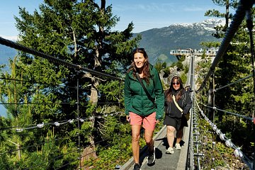
    Holiday weeks can bring heavier traffic and fuller hotels, both locally and on the Interstate bridges to Portland. If you travel during a busy holiday, leave extra time for drives and book stays early. Downtown parking fills quickly during big events, so arrive early. Off-peak weekdays usually offer the calmest experience.

    What Should You Pack for Each Season?

    Pack for the weather you expect, not the one you hope for. Vancouver’s seasons can switch quickly, so dress in layers year-round. A compact umbrella and a lightweight rain shell cover most trips, and a warm hat helps in cooler months. Sunscreen is worth bringing even on cloudy summer days.

    1. Spring: waterproof shoes and a light rain jacket.
    2. Summer: water bottle, sun hat, and sunscreen.
    3. Fall: layers and a warm mid-weight jacket.
    4. Winter: insulated waterproof outerwear and an umbrella.


    Frequently Asked Questions

    Which months usually offer the best value?

    Off-season months such as late fall and winter often bring lower lodging demand, which can mean better rates. Rates change constantly, so compare options early and check event calendars. Weekdays also tend to be quieter than weekends in most seasons. Shoulder months, meaning late spring and early fall, often balance cost and comfort well.

    Can you enjoy Vancouver WA during the rainy season?

    Yes, if you plan indoor stops and carry good rain gear. Museums, the Fort Vancouver visitor center, and downtown cafes offer shelter when showers arrive. Many trails stay open in light rain, but muddy conditions can make some paths slippery. Check trail conditions before heading out, especially after heavy storms.

    What is the single best month to visit?

    There is no single perfect month, but September often offers a strong balance. Summer heat has eased, the rain has not yet returned in force, and days remain long. Choose June or September if you want warm weather without peak summer crowds. Confirm weather forecasts closer to your trip.

  • A Three-Day Vancouver WA Itinerary with Day Trips

    Three days give you time for the city’s historic core and two rewarding day trips. Spend Day One in Vancouver, Day Two in Camas and Ridgefield, and Day Three along the Columbia River Gorge. Pace yourself, because the drives add up faster than you might expect.

    What Should Day One Include in Vancouver?

    Day One belongs to the historic core and the riverfront. Start at Fort Vancouver National Historic Site, which marks the Hudson’s Bay Company post founded in 1825. Explore Officers Row, then visit the Pearson Air Museum. Finish the day with a waterfront walk along the Columbia River.

    Give Esther Short Park a visit before dinner, since the downtown blocks around it are easy to explore on foot. Slow down, because the sites reward unhurried walking more than a rushed checklist. Bring comfortable shoes and a light layer for the river breeze.

    What Should Day Two Look Like in Camas and Ridgefield?

    Day Two combines a small-town stroll in Camas with a nature break in Ridgefield. Camas sits a short drive east of Vancouver and is known for Lacamas Lake and its historic downtown. Begin there in the morning, then drive to Ridgefield in the afternoon. Both towns suit a relaxed pace.
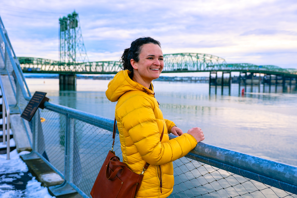

    Lacamas Lake offers walking paths with water views. In Ridgefield, the national wildlife refuge is a strong draw, especially for birdwatchers. Check the refuge’s visitor information for current trail conditions and seasonal closures before heading out. Pack water and snacks, since services outside town centers can be limited.

    What Should Day Three Cover on the Columbia River Gorge?

    Day Three heads east to the Columbia River Gorge, a National Scenic Area known for waterfalls and cliffs. The drive along the Washington side offers pull-off viewpoints, while the Oregon side holds famous falls such as Multnomah Falls. Check road and parking conditions before you go.

    Start early, since parking at popular Gorge spots can fill quickly, especially on weekends. Multnomah Falls draws large crowds, so arrive before mid-morning if you want a calmer visit. Pack layers, because temperatures in the canyon can differ from those in town. Check current access rules and any seasonal closures on official agency sites.

    How Long Are the Drives Between Stops?

    Drives in this region are short by most standards, but traffic can stretch them. Plan extra time for the Interstate bridges between Vancouver and Portland, and for weekend traffic near the Gorge. Leave a buffer so you do not rush the return.

    Gas up before you leave, since stations along rural stretches can be spaced far apart. Keep a few snacks in the car and check the forecast for the Gorge, where weather can shift between the river and the canyon walls. Drive slowly on rural roads at dusk, when deer are more active.

    How Should You Pack for Three Days?

    Pack in layers and bring one lightweight rain jacket. Vancouver’s weather shifts quickly, and the Gorge can feel cooler than town, especially near the water. Choose broken-in walking shoes, since each day includes long stretches on foot. Carry a reusable water bottle and a small daypack, too.

    Keep one flexible evening free for rest or a spontaneous stop. The third day can feel longest, so consider a lighter schedule. Check opening days and hours for each attraction on official websites before you leave home, since schedules change seasonally.

    What Is a Good Rainy-Day Backup Plan?

    Indoor options keep the trip on track when rain rolls in. The Pearson Air Museum and the visitor center at Fort Vancouver National Historic Site both offer indoor exhibits. Downtown shops and cafes offer a warm, dry place to regroup.

    Swap the outdoor Gorge or lake stops for a museum visit or a longer lunch, and keep the rest of the plan. Flexibility matters more than a perfect schedule. Confirm that each indoor site is open before you go, since hours change with the season.

    Frequently Asked Questions

    Can you do the day trips without a car?

    Driving is the easiest way to reach Camas, Ridgefield, and the Gorge. Guided tours and rideshare services may run to these areas, but schedules are limited. Confirm current options before you book, since availability changes often. Plan around the return ride so you are not stranded at the end of a long day.

    Should the Gorge trip come first or last?

    Save the Gorge for the end of the trip, once you know the city. Weather forecasts are easier to read a day or two ahead, so you can pick the clearest day for the drive. Leaving it last also gives you flexibility.

    Is three days too long for Vancouver WA?

    Three days is a generous but comfortable plan for the city and two day trips. The main Vancouver sights fit comfortably into one or two days. The extra time lets you enjoy Camas, Ridgefield, and the Gorge without rushing. Build in a rest afternoon if your energy runs low.

  • How to Spend a Weekend in Vancouver WA

    A weekend gives you enough time to see Vancouver, Washington at a relaxed pace. Split the trip into a historic Saturday and a riverside Sunday, with time for a day trip if you want one. The plan below lets you balance sightseeing, meals, and rest.

    How Should Saturday Start at Fort Vancouver?

    Begin Saturday at Fort Vancouver National Historic Site, which tells the story of the fur trade era in the Pacific Northwest. The Hudson’s Bay Company established its post here in 1825. Arrive shortly after opening, since morning crowds are usually lighter. Plan at least two hours for the visitor center and the reconstructed fort.

    The site is a good starting point for a weekend because it sets the scene for the rest of your trip. Walk the paths slowly, and read the interpretive signs about trade, daily life, and the region’s first residents. Pack water and sunscreen in warm months. Then head to Officers Row for a stroll past the historic homes.

    What Should You Do Saturday Afternoon?

    Saturday afternoon suits a relaxed pace, with time for the waterfront and a sit-down meal. Vancouver Waterfront Park follows the Columbia River, and Grant Street Pier offers wide views of the water. Plan a couple of hours to stroll and take photos. Bring a light jacket, since river breezes can feel cool even on sunny days.

    Walk the Vancouver Land Bridge for a quick look at how the city connects its downtown to the riverfront. Afterward, stroll through Esther Short Park, one of the oldest public parks in Washington. Benches make it easy to rest, and the surrounding blocks offer plenty of places for dinner.

    How Should You Spend Sunday Morning?

    If your weekend falls during market season, the Vancouver Farmers Market makes a pleasant morning stop. Its seasonal schedule changes from year to year, so confirm the days and hours before you go. Arrive early for the best selection, and bring a reusable bag. Many vendors sell fresh produce, baked goods, and local crafts.

    Sunday is also a good day for the Columbia River Renaissance Trail. The paved route offers an easy walk or bike ride along the water, and it suits most fitness levels. Bring water, since some stretches have little shade. Plan your return so you finish before dark.

    Should You Add a Day Trip to Your Weekend?

    Yes, if you have a spare half day. Nearby Camas offers Lacamas Lake and a walkable downtown with a historic feel. Ridgefield is a short drive away, and its national wildlife refuge is a good place for birdwatching. Both towns are easy to reach by car, so plan the drive around your other stops.

    Keep Sunday evening light if you want a slow finish. Vancouver Lake offers open water views and a relaxed stroll, and the Burnt Bridge Creek Trail provides a quieter option through town. Check park hours and seasonal closures before you go.

    Where Should You Eat on a Weekend Trip?

    Choose Uptown Village or downtown for most meals, since both offer cafes and casual restaurants. Uptown Village sits a short drive from downtown, so it works well after a morning at the fort. Busy weekends can mean longer waits, so consider booking ahead.

    Pack snacks for longer walks, since trails stretch farther than they look on a map. Look for benches and picnic spots near the waterfront and park. If you want a quiet break, the Pearson Air Museum offers an indoor option during hot or wet weather.

    How Do You Get Around Over a Weekend?

    Most visitors drive, park, and walk between stops. Downtown and the waterfront suit walking, while the wider region usually requires a car. Local buses run on several routes, and rideshares fill gaps. Check parking signs and time limits at each location.

    Build in buffer time for traffic on the bridges to and from Portland, especially at peak commute times. Keep an offline map handy, since signal can be spotty near the river. Bring a small backpack for water and layers, and you will be set for the weekend.

    Frequently Asked Questions

    Is two days enough to see Vancouver WA?

    Two days is enough to cover the main historic, waterfront, and park sights at a relaxed pace. Adding a day trip to Camas or Ridgefield works best if you have an extra half day. Plan a rest period each afternoon, since walking through the historic sites adds up quickly.

    Should you rent a car for a weekend visit?

    A car gives you the most flexibility, especially for day trips to Ridgefield, Camas, or the Columbia River Gorge. Downtown stops are walkable from one another, so you can skip the car on some days. Check C-TRAN’s routes if you plan to ride, and confirm parking rules at each stop.

    When is the best weekend to visit?

    Late spring through early fall usually offers the most comfortable weather for outdoor sightseeing. Summer weekends can be busier, so arrive early at popular sites. Winter weekends are quieter, though rain is more common. Check local forecasts before you finalize your plans.

  • One Day in Vancouver WA: A Perfect Sightseeing Itinerary

    You can see the highlights of Vancouver, Washington in a single day if you plan your route well. Start at the historic core, move along the riverfront, and finish with a relaxed evening walk. This itinerary follows that order so you spend less time backtracking.

    Where Should You Start Your Morning?

    Start at Fort Vancouver National Historic Site, where the city’s story began. The fort was established in 1825 as a Hudson’s Bay Company trading post on the Columbia River. Arrive early, because crowds stay lighter before midday. Give yourself a couple of hours to explore the reconstructed fort and the visitor center exhibits.

    Walk the grounds slowly and read the interpretive signs. They explain the fur trade, the workers who lived and worked at the post, and the Native peoples who had lived along this stretch of river for thousands of years. Ask at the visitor center whether any talks or demonstrations are scheduled that day. Wear comfortable shoes, since the paths add up faster than you expect.

    What Makes Officers Row Worth a Stroll?

    Officers Row is a short walk from the fort, and it offers a quick look at 19th century military life. The street is lined with Victorian-era homes built for Army officers stationed at Vancouver Barracks. Many houses are private or used by organizations, so enjoy the architecture from the sidewalk. Allow 20 to 30 minutes for a relaxed loop.

    Look for the variety of wood-frame houses, which show how styles changed over several decades. Read the historic markers, since they describe the families and officers who lived in each home. The Pearson Air Museum sits close to the fort area, so you can continue there on foot when you finish the loop.

    Is the Pearson Air Museum Worth Your Time?

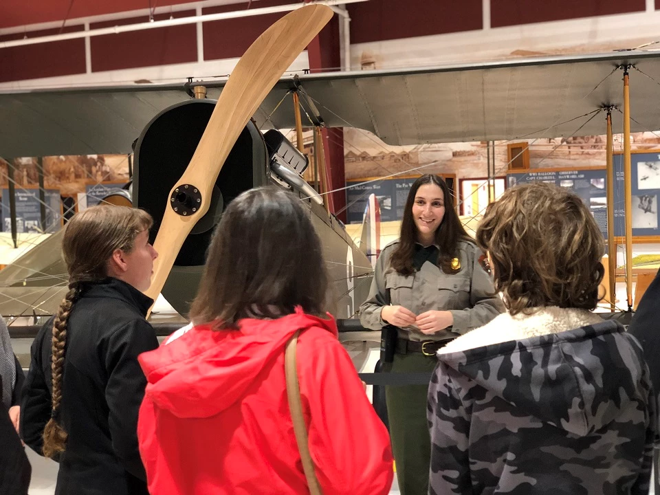
    Yes, if you enjoy aviation history or want an indoor stop out of the weather. The Pearson Air Museum sits on Pearson Field, which dates back over a century and ranks among the oldest airfields in the United States. Exhibits trace early flight in the Pacific Northwest. Check hours and admission on the museum’s official website before you go.

    Plan about an hour inside, though aviation fans often want more. The museum works well on a cool or rainy day, when outdoor sights feel less inviting. Pair it with a stroll through the surrounding park grounds, then head back toward the river for the afternoon.

    How Much Time Should You Spend on the Waterfront?

    Plan at least two hours for Vancouver Waterfront Park and Grant Street Pier. The park follows the Columbia River and offers open views, benches, and room for a picnic. The pier reaches out over the water, giving you a good angle for river photos. Afternoon light is pleasant in most seasons, so this stop fits well after lunch.

    Bring a light layer, since breezes off the water can feel cool even on sunny days. The Columbia River Renaissance Trail is close by, so walkers and cyclists can keep going along the water if they still have energy. Check the city’s website for event closures before you go.

    Where Should You End the Day?

    Esther Short Park is downtown Vancouver’s central green space and one of the oldest public parks in Washington. It makes a relaxed place to finish your day. Benches and open lawns invite you to sit and watch locals and visitors pass through. Check whether the Vancouver Farmers Market is running during your visit, since its seasonal schedule changes.

    Plan a walk back toward the riverfront to finish the loop. Downtown has casual eateries and shops within a few blocks, so you can grab a bite before heading home. For the best sense of the city, leave the day’s last stop for early evening, when the crowds thin out.

    What Should You Pack for a Day Like This?

    Pack light, comfortable, and ready for changing weather. Vancouver’s weather can shift quickly, especially near the river where breezes pick up. Bring water, sunscreen in warmer months, and a rain layer for the cooler season. A small daypack keeps your hands free for maps and snacks.

    1. Check the official sites for current hours before you leave home.
    2. Download an offline map in case your signal drops near the water.
    3. Plan a backup indoor stop for bad weather, such as the museum.

    Frequently Asked Questions

    Can you see Vancouver WA in one day without a car?

    Yes, with some planning. Most of the highlights sit in or near the historic core, and local buses cover much of the route. Ride-hailing services and taxis fill the gaps. Check C-TRAN’s current routes and schedules before you leave, since service patterns change over time.

    What is the best order for a one-day visit?

    Start early at Fort Vancouver, then walk Officers Row and visit the Pearson Air Museum. Head to the waterfront after lunch, and finish at Esther Short Park as the day winds down. This order limits backtracking and keeps the walking distances manageable for most visitors.

    Is one day enough to see the highlights?

    One day covers the main downtown and historic sites well, but you will need a second visit for the wider area. Nearby Camas, Ridgefield, and the Columbia River Gorge each deserve a half day or more. If you only have one day, focus on the fort, the waterfront, and the park.

  • Pomeroy Living History Farm: A Step Back in Time in North Clark County

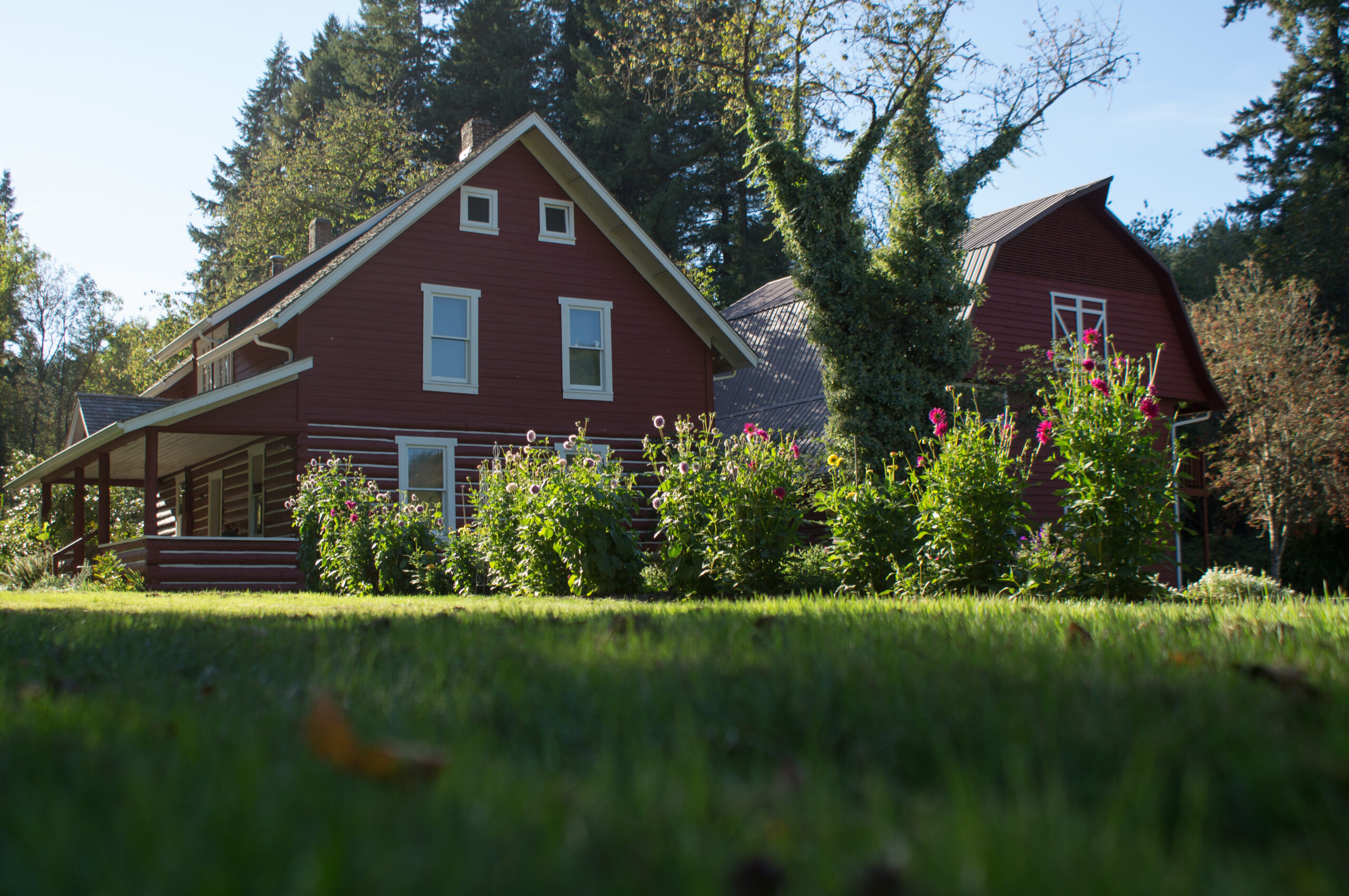
    Pomeroy Living History Farm offers a window into rural life in north Clark County. Plan a relaxed visit with time for demonstrations, animals, and the historic buildings. Check the official site for current hours, programs, and any admission rules before you go.

    How Do You Get to Pomeroy From Vancouver?

    Pomeroy Living History Farm sits in north Clark County, a short drive north of downtown Vancouver WA. Many drivers use the interstate and then local county roads, which can be narrow and rural. Use the address listed on the official website in your navigation app, and allow extra time for turns on country roads.

    Traffic is usually light on country roads, but farm vehicles and cyclists can slow you down. Keep a steady speed and watch for signs near the entrance.

    What Can You See and Do on the Farm?

    Visitors can explore historic farm buildings, watch demonstrations of traditional chores, and see any animals kept on site in pens and barns. Program offerings vary by season, and some days feature special activities or school groups. Check the official calendar before you visit to match your plans with demonstrations.

    Visitors often find the most value in asking questions of staff and volunteers, who can explain how tasks were done. A relaxed pace works well here, so give yourself time to sit, watch, and talk with people on site. Plan on two to three hours on site, depending on pace.

    Why Is Living History Worth the Visit?

    Living history sites show everyday routines, tools, and seasonal work that shaped rural families. Visitors see how chores fit together, from feeding animals to preserving food. The experience can help children and adults picture the work behind everyday meals. That perspective makes the visit feel less like a museum and more like a conversation.

    Pack a notebook or sketchbook if you enjoy details. Visitors often find themselves asking more questions than expected.

    What Should Families Know Before Visiting?

    Families with young children often enjoy the animals, open spaces, and demonstrations most. Unpaved paths and grassy areas can be tough for strollers, so plan carrier options. Keep little ones close near equipment and animals, and ask staff about activities for kids.

    Older visitors should wear comfortable shoes and plan rest breaks, since walking the grounds takes more time than many expect. Accessible restrooms and seating details are best confirmed before the visit.

    When Is the Best Time to Go?

    Late spring and early fall are often pleasant for walking outdoors and enjoying the grounds. Seasonal events and harvest-season activities can add interest, but schedules vary by year. Weekdays are usually calmer than weekend afternoons. Check the event calendar, since special days often draw bigger crowds.

    Weather in north county can change quickly, so bring a rain layer even on sunny mornings. Mud can linger in spring, so choose footwear with good tread.

    What Else Is Nearby for a Full Day?

    Battle Ground Lake State Park, which offers trails and a lake, is another option in the area. Pair a farm visit with a park stop for a relaxed countryside day. Check whether a Discover Pass is required before you go.
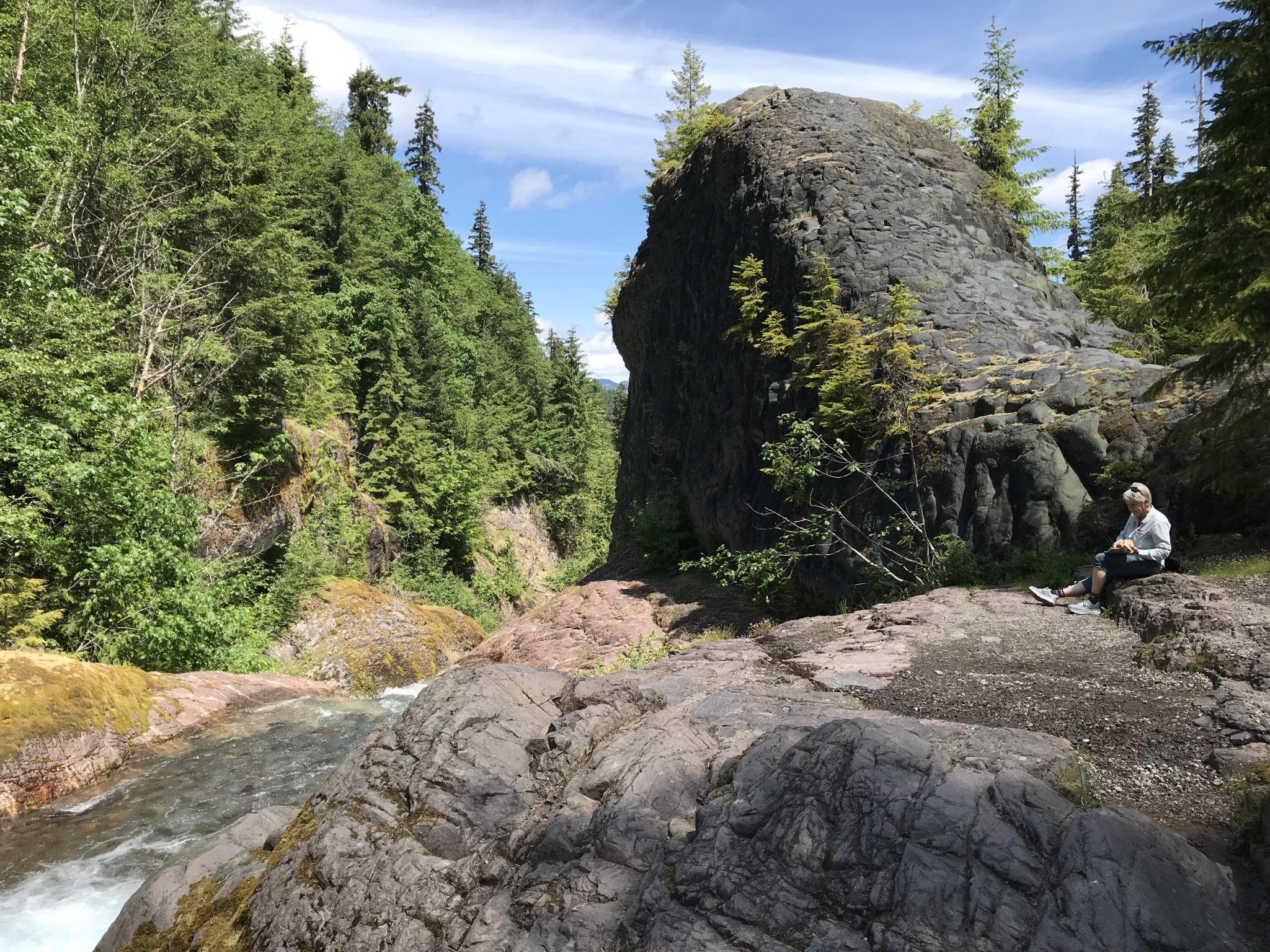
    Downtown Battle Ground has a small-town feel, with local shops and eateries to round out the day. Grocery stores and cafes near the town center make it easy to pick up picnic supplies.

    What Makes This Farm Different From a Museum?

    Living history farms focus on working routines rather than display cases, so visitors often see tasks in motion. Staff and volunteers can explain techniques, tools, and daily life as activities happen. That setup suits people who like to ask questions and learn by watching.

    Compared with a standard museum, you can often move at your own pace. Families with children who like hands-on learning and adults who enjoy history often get the most out of it.

    Frequently Asked Questions

    Is the farm good for a family outing?

    Many families enjoy the farm’s demonstrations, animals, and open grounds. Younger children may need breaks and close supervision near equipment. Plan around the program schedule and bring snacks, water, and a light rain layer for changing weather. Check the official site for current details before you go.

    Do you need to reserve tickets in advance?

    Reservation rules change, so check the official website or call ahead before you plan the trip. Special events and school programs may require advance booking. Walk-in visitors may still be welcome on regular open days, but confirm current policies first. Calling ahead also helps you confirm which animals and demonstrations are scheduled.

    Is the farm accessible for visitors with mobility needs?

    Historic sites often have uneven ground, gravel, and older buildings that limit access. Ask the farm directly about current accessibility features, including parking, restrooms, and paths between buildings. Bring a folding chair or plan rest stops if walking distance is a concern.

  • Ape Cave Lava Tube: An Underground Adventure Near Mount St. Helens

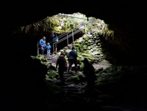
    Ape Cave is a lava tube on the south side of Mount St. Helens, reached by a drive of about two hours from Vancouver WA. Bring at least three light sources, warm layers, and sturdy shoes. The cave stays cool year-round, so plan for chilly temperatures even on a summer afternoon.

    How Do You Get to Ape Cave From Vancouver?

    Ape Cave sits on the south side of Mount St. Helens, roughly two hours from Vancouver WA by car. Drive north on State Route 503 toward Cougar, then follow forest roads signed for Ape Cave. Some roads are narrow and gravel, so drive slowly and watch for other vehicles.

    Fill up on fuel and snacks before you leave Vancouver, since services near the cave are limited. Cell coverage is spotty, so download maps ahead of time.

    What Is Ape Cave and How Was It Formed?

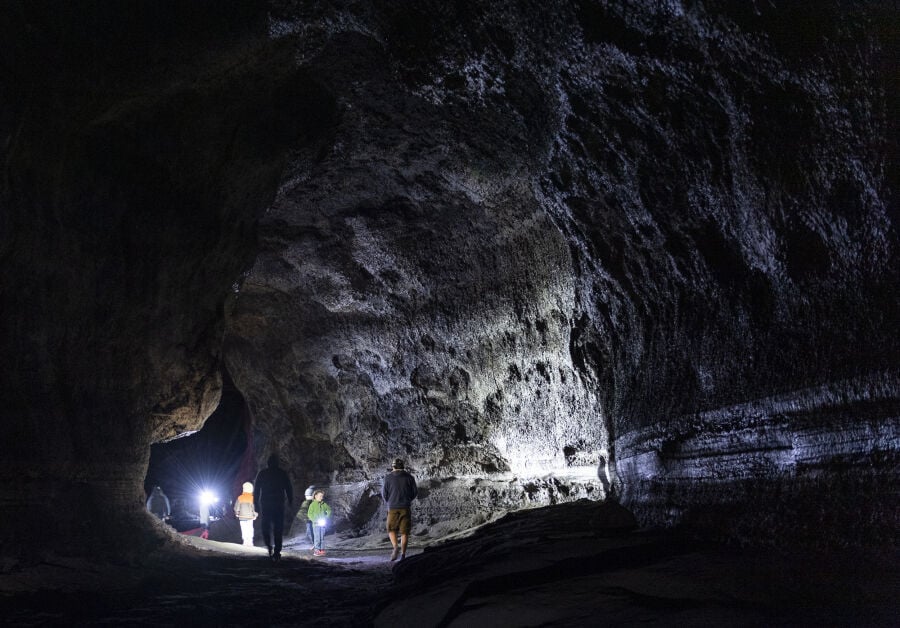
    Ape Cave is a lava tube, a tunnel formed when flowing lava hardened along its edges while molten rock drained away. The cave is among the longer lava tubes in the continental United States, and visitors walk across its rocky floor through long, dark passages.

    The tube formed during volcanic activity long before modern visitors arrived. Its walls show ripples and drip features that tell the story of how lava moved.

    Which Part Should You Walk: Lower or Upper Tube?

    Most visitors start with the lower tube, which is the longer and more walkable route. The upper tube is shorter but rougher, with boulders and scrambles that require more care. Choose the lower tube for a first trip, and try the upper section only if you feel steady on uneven ground.

    Both routes pass through cool, dark passages where the ceiling can be low in places. Stay aware of your head height and watch your footing near rock piles. Expect the walk to feel longer in the dark, since there are no landmarks to measure distance.

    What Should You Bring Inside the Cave?

    Bring at least three independent light sources, such as headlamps and a backup flashlight, since the cave is completely dark without them. Wear sturdy shoes with good grip and a warm layer, because the air stays cool year-round. A helmet is a smart addition, since the ceiling can be low.

    Keep a spare battery or backup light in your pack, since power loss can make the return trip stressful. Leave no trash behind, and stay on the marked route.

    Is Ape Cave Suitable for Children and Older Visitors?

    Older children and adults who handle uneven ground well usually enjoy the lower tube. Young kids may find the dark and cold unsettling, and the upper tube can be difficult for many visitors. Visitors with mobility limits should check current conditions and ask about accessible options before going.

    Set a turnaround point before you enter, and turn back if anyone feels overwhelmed. Leaving early is always better than pushing through an uncomfortable trip. Some families split up, so a nervous child can wait near the entrance with an adult.

    What Else Is Nearby on the Mountain’s South Side?

    Forest roads on the south side connect several viewpoints and trails. Pair your cave visit with a short hike or a river viewpoint, since the drive makes a full day feel worthwhile. Check road status and closures before you leave, since forest roads can close after storms.

    Plan your visit for a day with dry weather, since rain makes roads muddy and parking tight.

    What Should You Know About Safety Underground?

    Stay with your group, keep lights on and pointed ahead, and never wander off the marked path. The cave has uneven floors and low ceilings, so slow down near rock piles. Tell someone your plans, since cell service rarely reaches the cave.
    Stay calm if the lights seem dim, and check your batteries early. Trail markers and signs guide the route, and staying on it is safer than looking for shortcuts.

    Frequently Asked Questions

    How long does a visit to Ape Cave take?

    Plan for one to two hours inside the cave, including time to walk, pause, and look around. With the drive from Vancouver, a visit usually fills a half day or more. Set a comfortable turnaround goal, especially on your first trip underground.

    Do you need a pass to park at Ape Cave?

    Forest lands in this area often require a recreation pass, such as a Northwest Forest Pass, for parking. Requirements can change, so check the signs at the trailhead and the managing agency’s current information. Display your pass on the dashboard before you start walking.

    Is the cave open all year?

    Access can change with weather, road conditions, and seasonal maintenance, so the cave may close at times. Winter snow can block forest roads, which can make the trip impossible. Check current status with the national forest office before you drive, especially in late fall, winter, and early spring.

  • A Long Beach Peninsula Road Trip From Vancouver WA

    The Long Beach Peninsula sits on the southwest Washington coast, a drive of roughly three hours or more from Vancouver WA. Plan two or three days to cover the beaches, lighthouse, and small towns without rushing. Check tide tables and weather, since wind and fog can change plans quickly.

    How Long Does the Drive Take From Vancouver?

    Most trips from Vancouver WA take three hours or more, depending on traffic and the route you choose. Head west on state highways toward the coast, and expect slower roads near the end. Plan fuel and snacks before you leave, since services can be spread out along the way.

    Build in a break at a river town or rest stop, since the last stretch of road can feel long after a full morning of driving. Download offline maps for patchy coverage. Check road conditions in winter, since storms can slow traffic on rural highways.

    Where Should You Stay on the Peninsula?

    Long Beach, Ocean Park, Seaview, and Ilwaco each offer a different base for a peninsula trip. Long Beach suits visitors who want shops and easy beach access, while quieter towns appeal to those seeking slower days. Book early for summer weekends, since lodging fills quickly.

    Lodging styles range from small inns to vacation rentals, so compare location and parking before you book.

    What Can You See at Cape Disappointment?

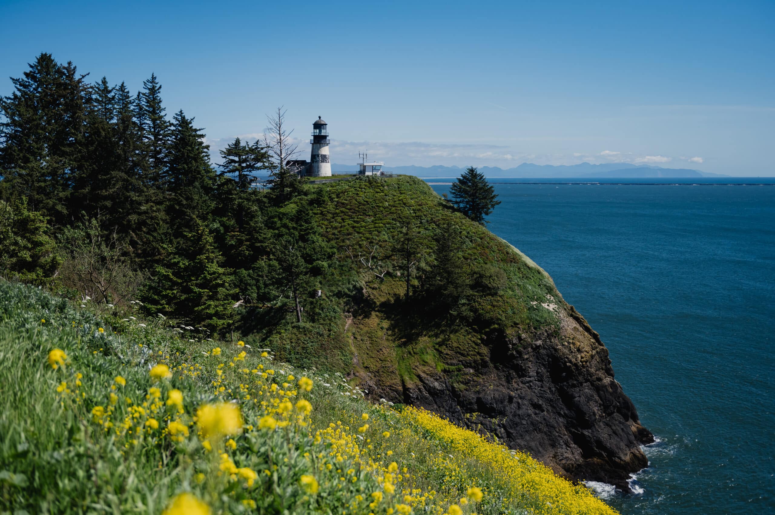
    Cape Disappointment State Park sits at the mouth of the Columbia River and includes a historic lighthouse and the Lewis and Clark Interpretive Center. Trails lead to viewpoints over the river and ocean. Expect wind and fog, and check hours before you go.

    The park is also known for its rugged coastline and the notorious Columbia River bar, where strong currents have caused many shipwrecks. Plan a visit to the lighthouse on a clear day, since fog can hide the views from the headlands.

    Is Razor Clam Digging Worth Trying?

    Yes, for many visitors, digging razor clams on Long Beach is a memorable coastal activity when seasons are open. Recreational clamming requires a Washington shellfish license and follows state rules on dates, limits, and sizes. Check the Washington Department of Fish and Wildlife website before you go, since openings change.

    Bring a bucket, a clam gauge, and a shovel, and plan around low tides. Stay off dunes and follow posted rules for sand driving if you drive onto the beach.

    What Else Is Worth Seeing Along the Coast?

    The World Kite Museum in Long Beach and the wildlife areas near Leadbetter Point are two quieter stops worth adding. Cranberry bogs and oyster farms on the bay also give the peninsula its local character. Plan a slow drive with several stops rather than a rushed schedule.

    In fall, cranberry bogs are often flooded for harvest, a sight many visitors find striking.

    What Should You Pack for a Coastal Day?

    Pack layers, a windproof jacket, and sturdy shoes that can handle wet sand. Bring sunscreen even on cloudy days, since sun can break through quickly. A small dry bag protects phones and snacks from spray and blowing sand. A thermos of something warm makes the windy beach feel friendlier.

    Coastal fog can roll in fast, so keep a light sweater in the car even on bright mornings. Bring a flashlight for early or late beach walks, since sunset comes early in winter.

    Can You Make the Trip in One Day?

    A one-day trip is possible for a focused visit, but it means long hours on the road. Choose one or two highlights, such as the beach and the lighthouse, and leave the rest for another visit. Starting early helps you avoid heavy traffic on the return.
    Two nights gives a relaxed pace, with one day for beaches and one for towns, museums, and quiet walks. Three nights lets you add a slower morning.

    Frequently Asked Questions

    What is the best season for a Long Beach trip?

    Late spring through early fall usually offers the most comfortable weather and open attractions. Summer brings busier beaches, while fall adds cranberry harvest scenes and quieter roads. Winter storms can be dramatic, but some services run on reduced schedules, so check hours before you travel. Plan around weather forecasts for any beach time.

    Can you drive on the beach?

    Some stretches of Long Beach allow driving on the hard sand, but rules change with tides, seasons, and local rules. Look for posted signs, and avoid soft sand near dunes. Vehicles can get stuck, so drive cautiously or park and walk instead. Check current rules before you drive onto sand.

    Is the peninsula suitable for families?

    Yes, families often enjoy the wide beaches, kite museum, and easy walks near town. Keep an eye on children near the surf and on windy days, since sneaker waves and cold water are real concerns on the Pacific coast. Pack warm layers, even in summer.

  • A Portland Day Trip From Vancouver WA: Crossing the River for the Day

    Portland sits just across the Columbia River from Vancouver WA, so a day trip needs little planning. Pick two or three anchor stops, such as a bookstore, a garden, and a forest trail. Bring transit fare, a rain layer, and comfortable shoes.

    How Do You Cross the River Into Portland?

    Most drivers use Interstate 5 across the Interstate Bridge, which links Vancouver with North Portland. Interstate 205 offers another route across the Glenn Jackson Bridge to the east. Traffic on either bridge can slow sharply during rush hours, so plan your crossing around peak times.

    Check whether bridge tolls apply before you cross, since toll plans for the Columbia River crossing have been debated for years. Transit riders can avoid driving through the traffic entirely by choosing a bus or rail option.

    How Do You Get Around Portland Without a Car?

    TriMet’s MAX light rail and bus network connect many central Portland neighborhoods, and C-TRAN operates buses across the river. Walking works well in the downtown core and near the waterfront. Check current schedules and fare rules before you travel, since service changes often.

    Download a transit app or check official schedules before you leave. Fares can differ between agencies, so keep a card or fare app ready. Pack a small amount of local cash for street vendors and small shops.

    Which Portland Stops Are Worth Your Time?

    Powell’s City of Books, Portland Japanese Garden, and Forest Park are three long-standing favorites for a day trip. Each offers a different pace, from browsing shelves to strolling quiet gardens to hiking through forest. Pick two or three so the day stays relaxed.

    Powell’s occupies an entire city block, so plan extra time for browsing. The Japanese Garden is often calmer in the morning, before paths fill with visitors.

    When Is the Best Time for a Portland Day Trip?

    Spring and early fall usually offer mild weather and the best outdoor conditions for walking and gardens. Weekdays are generally calmer than weekends at popular spots. Rain is common in the Portland area during winter, so pack a rain layer year-round.

    Saturday Market in Portland runs on weekends during much of the year, which adds a lively option for a weekend visit. Check its schedule before you plan a visit.

    How Should You Plan Your Day?

    Start early, group nearby stops, and build in a long lunch break. Portland neighborhoods are walkable, so pick one or two districts rather than crossing the city repeatedly. Keep a loose schedule so you can linger at favorite spots. Plan a return trip time to avoid the evening bridge rush.

    Many visitors finish with a waterfront walk before heading home, which gives a calm close to the day. If you go in the evening, check whether the stops you want are open late, because many close earlier than expected.

    What Are the Best Ways to Spend a Rainy Day?

    Indoor options such as the Portland Art Museum and the Oregon Museum of Science and Industry keep visitors dry on wet days. Bookstores and covered spaces also offer shelter. Check current hours and ticket rules on each official site before you go.

    Some museums offer free or reduced admission on certain days, so check before you plan. Pack a small umbrella and a dry bag for books and phones.

    Can You Combine Portland With Another Stop?

    Yes, you can pair Portland with a nearby stop such as the Columbia River Gorge, since Gorge waterfalls lie east of the city. Plan a morning in the Gorge and an afternoon in Portland, or reverse the order. Give each stop time, and check driving distances on a map.
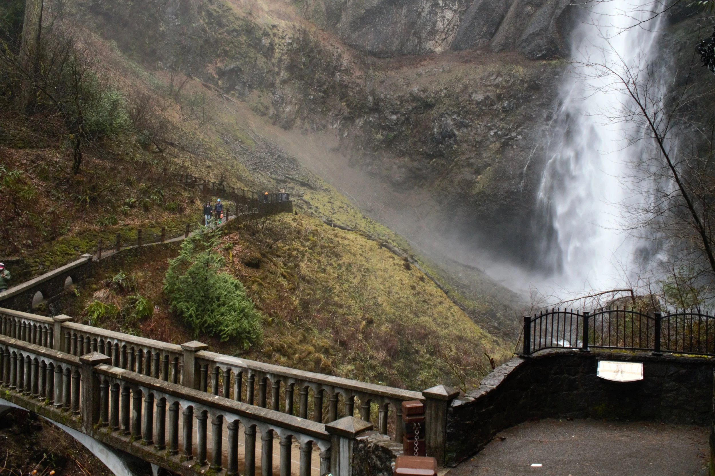
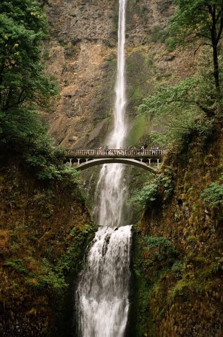
    Keep the combined day realistic, since a rushed schedule leaves less time for the places you care about most.

    Frequently Asked Questions

    Is a Portland day trip possible without a car?

    Yes, many visitors use buses, light rail, or walking once they arrive. Bus and rail connections can be slower than driving, so allow extra time. Check current transit options and fares before you leave, since routes change over time. Many visitors also find rideshare handy for short hops between stops.

    How much time should you set aside for the trip?

    A full day is ideal for two or three stops, with time for meals and transit. Half-day visits work well for a single museum or garden. Build in buffer time for bridge traffic, especially if you drive across during commute hours. Plan around opening hours, which vary by attraction and season.

    What should you bring for a city day trip?

    Bring a photo ID, a transit card or cash, a refillable water bottle, and a rain layer. Comfortable walking shoes matter most, since many stops involve long strolls. A small bag keeps your hands free for purchases and photos. Leave room in your bag for books, since you may find a few you can’t resist.

  • Visiting Multnomah Falls From Vancouver WA: What to Know Before You Go

    Multnomah Falls sits roughly an hour east of Vancouver WA, across the Columbia River in Oregon. The falls drop roughly 620 feet in two tiers, and crowds peak on summer afternoons. Arrive early, plan parking in advance, and expect cool mist near the base.

    How Far Is Multnomah Falls From Vancouver?

    Multnomah Falls sits in Oregon along Interstate 84, roughly an hour’s drive east of Vancouver under normal traffic. Most drivers cross the Columbia River on Interstate 5, then head east through Portland. Expect delays during rush hour and on sunny weekends, since bridge and freeway traffic slows quickly.

    Give yourself extra time for the bridge crossing, and check for construction updates before leaving. Bridge crossings can add time when traffic stacks up near the river.

    Do You Need to Pay for Parking?

    Parking at Multnomah Falls can fill early, and rules vary by lot and season. Some areas along the Gorge charge a fee or require a recreation pass, so check signs before you park. Confirm current parking rules with the managing agency or official site before you go.
    Oregon has no state sales tax, so purchases in the area cost what the price tag says. Carry a card or cash for any fees, since payment options can vary.

    What Is the Walk to Benson Bridge Like?

    The paved trail climbs in switchbacks to Benson Bridge, a footbridge spanning the falls partway up. The walk is manageable for many visitors, though the path can be steep and crowded. Expect spray and wet, slippery sections near the bridge on busy days. Hold the railings and keep children close.

    The view from the bridge looks down on the lower falls and out across the gorge. Stop for photos, but step aside to let others pass.

    When Is the Best Time to Visit?

    Early mornings and weekdays are usually the quietest, since the falls draw heavy crowds on summer weekends. Spring can bring fuller flow, while fall offers colors on the surrounding slopes. Winter can be beautiful, but ice on paths can make the trail hazardous. Check weather before you go.

    Trail closures can happen during icy weather, so check the latest status before the drive. Visits in shoulder seasons, such as late spring and early fall, often mean a little more room on the trail. If you come on a weekend, arrive before the late morning rush.

    What Else Is Nearby Along the Old Highway?

    Multnomah Falls sits along the historic Columbia River Highway, where smaller falls such as Wahkeena Falls and Horsetail Falls are close by. These stops offer shorter walks and often quieter trails. Pair them with Multnomah for a half-day tour of Gorge waterfalls. Check current trail conditions for each site, since some paths close after storms.

    Plan a short stop at each falls rather than trying to see everything in one hurry.

    Is Multnomah Falls Good for Kids and Older Visitors?

    Many families and older visitors enjoy the falls, since the base area and lower paths are easy to reach. The climb to the bridge includes steep sections, so some visitors may find it tiring. Check current accessibility information with the managing agency before you go.

    Take breaks as needed, and plan a slow pace for the climb. Bring a rain layer, since spray can soak you near the base even on dry days.

    What Should You Pack for the Visit?

    Pack a rain layer, sturdy shoes with grip, and a refillable water bottle. A small daypack keeps your hands free for the railings and for photos. Sunscreen and a hat help on sunny days, since open sections of the trail get warm. Keep your phone charged for maps and photos.

    Leave the falls area cleaner than you found it, and use trash bins or carry out what you bring. Gorge trails see heavy foot traffic, so every visitor’s care matters.

    Frequently Asked Questions

    Can you visit Multnomah Falls without a car?

    Public transit and seasonal shuttle services sometimes serve the area, but schedules and routes change. Check current options before you plan a car-free trip. Rideshare is often limited near the falls, so arrange your return ride early. Plan extra time for any connection, since waiting can add up.

    Do you need a passport to visit Oregon from Vancouver?

    Traveling between Washington and Oregon is domestic travel, so U.S. citizens do not need a passport. Carry a valid photo ID anyway, and bring proof of insurance and registration if you drive. Non-U.S. visitors should check entry requirements with the appropriate government office.

    How long should you plan to spend at the falls?

    Plan for a stop of at least an hour if you want to walk the paved trail and enjoy the view. Add time for parking, restrooms, and photos. Visitors who want to hike to the upper Gorge trails should budget a full day for the round trip.

  • Silver Star Mountain: Wildflowers and Big Views Near Vancouver WA

    Silver Star Mountain sits just under 4,400 feet in the forests north of Vancouver, and its summer meadows are known for wildflowers and far-reaching views. Plan for a rough access road and changing mountain weather. Late June through early August usually offers the best combination of blooms and clear skies.

    How Do You Reach Silver Star Mountain From Vancouver?

    Silver Star Mountain lies in the forests north of Vancouver, roughly an hour or more by car depending on your route. Head north toward Battle Ground, then follow signed forest roads to the trailhead. Some access roads are gravel and can be rough after storms, so a higher-clearance vehicle helps.

    Download offline maps before you leave, since cell service can disappear on the forest roads. Fill your tank before you climb, and check the road status with the national forest office before the drive.

    When Do the Wildflowers Peak?

    Wildflowers usually peak in mid to late summer, when meadows bloom and the snow has melted from higher slopes. Beargrass, lupine, and paintbrush are commonly seen across open areas, though timing shifts with snowpack and weather. Plan a late June or July visit for the best chance of color.

    Bloom timing varies by year, so check recent trip reports before you choose a date. Bring a field guide or a plant app to name what you see, and avoid picking flowers, since they support pollinators.

    What Views Can You Expect From the Summit?

    On clear days, the summit offers views of several major Cascade peaks, including Mount St. Helens and Mount Adams. Mount Hood can also appear to the south on the clearest mornings. Haze, smoke, and cloud can hide the peaks, so check the forecast the day before.

    Take a few minutes to identify peaks with a compass or map app, since many ridgelines look similar from a distance.

    Do You Need a Pass to Park?

    Many forest trailheads in this area require a recreation pass, such as a Northwest Forest Pass or a Discover Pass, depending on the land manager. Requirements vary by lot, so read the trailhead signs carefully. Confirm current rules before you drive, since fees and policies change.

    Some recreation areas also post seasonal closures during fire season, so check alerts before you plan a visit. A quick call to the local ranger district can save a long drive. Bring a printed map too, since trailhead signs can be sparse.

    How Hard Is the Hike?

    The hike involves sustained climbing and changing terrain, so it suits hikers with steady fitness. Expect uneven footing, some exposed sections, and cooler air near the top. Bring trekking poles if you have them, and turn back if weather turns. Start early so you can finish before afternoon clouds build.

    Pack more water than you think you need, since exposed meadows get hot in summer, and streams may not be safe to drink from without treatment.

    When Should You Avoid the Mountain?

    Winter access is limited, since snow often closes upper roads and trails from late fall into spring. Late summer fire season can bring smoke and closures. Check conditions before you commit, especially after heavy storms. Early summer visits may face lingering snow patches. Pick a day with a settled forecast for the best experience.

    What Should You Bring for a Summit Day?

    Bring layers, sun protection, water, a map, and a headlamp for the return trip. Weather on the summit can feel much colder than the parking area, even in July. Sturdy boots help on loose trail, and a light rain shell is a smart backup. Pack a thin hat and gloves for windy ridges.
    Leave a note with your route and expected return time in the car or with a friend. Cell service is unreliable in the forest, so a simple plan helps rescuers if needed.

    Frequently Asked Questions

    How long does the hike to the summit take?

    Plan for a half day or more, depending on your pace and how long you linger for views. Round trips often take several hours, especially if you stop for wildflowers. Start early, pack extra water, and leave time for the drive back down the forest roads.

    Is Silver Star Mountain good for families?

    Older children and experienced hikers usually handle the climb well, but younger kids may tire on steep grades. Rough access roads and exposed ridges call for close supervision. Bring plenty of snacks and water, and set a turnaround time before you leave the car. Consider a shorter route if your group includes very young children.

    Can you visit the summit in winter?

    Winter visits are generally not recommended unless you have snow travel experience. Roads and trails may be closed or impassable, and conditions change quickly. Check current road and trail alerts with the land manager before you consider a snowy trip, and carry appropriate gear if you go.

  • Hiking the Cape Horn Trail Near Vancouver WA

    The Cape Horn Trail is one of the closest scenic hikes to Vancouver WA, with basalt cliffs, river views, and seasonal waterfalls. Expect a moderate to steep climb, and plan for several hours on the loop. Pick a clear day and bring a map, since trail junctions can be confusing.

    How Far Is Cape Horn From Vancouver?

    Cape Horn sits east of Vancouver near Washougal, a drive that usually takes under an hour without heavy traffic. Most visitors take State Route 14 east and turn off toward the trailhead signs. Trailhead parking is limited, so arrive early on sunny weekends, and use a designated lot rather than roadside spots.

    Road signs can be easy to miss, so check your route before you leave home. Note the trailhead name and the nearest turnoff, since cell coverage can be spotty in the canyon.

    What Will You See on the Cape Horn Loop?

    The loop passes basalt cliffs, mossy slopes, and views over the Columbia River. Seasonal waterfalls add sound and spray in wetter months. Many visitors find the loop most rewarding when they slow down and read the trail signs along the way. Spring brings wildflowers across open slopes, while fall shows colorful leaves in the lower woods. Each season offers a different walk, so you can revisit the trail without getting bored.

    The river views open up near the cliff edges, where barriers may be limited, so keep children close. Stay on marked paths near edges, since loose rock can break underfoot.

    How Hard Is the Cape Horn Trail?

    The loop has steep sections and uneven ground, so it suits hikers with moderate fitness. Expect several climbs, rocky steps, and occasional muddy spots after rain. Many hikers plan for several hours, depending on pace and stops. Bring trekking poles if your knees need support.

    Pick the direction that suits your energy level, and look for a shorter option on the map if the day feels tough.

    What Should You Know About Parking and Passes?

    Washington state recreation areas often require a day-use pass, such as a Discover Pass, for parking. Requirements can differ between lots and agencies, so check the signs at the trailhead. Carry a pass on the dashboard, and plan to pay before you start hiking.

    Confirm current permit rules on the official site before the trip, since fees and programs change over time.

    When Is the Best Time to Hike?

    Spring and early summer are often the most pleasant for the Cape Horn loop, with mild temperatures and blooming plants. Fall offers cooler air and fewer bugs. Summer can get hot on exposed slopes, so start early if you go in July or August.

    Winter trips can be rewarding on clear days, but icy spots and mud make the footing tricky. Check conditions before you commit.

    What Should You Pack and Watch For?

    Pack water, layers, a map, and a snack, since services along the trail are limited. Wear shoes with good tread and bring sun protection for open ridges. Watch for poison oak, ticks, and snakes on sunny rocks, and stay on the trail to protect the plants. Poison oak leaves can look glossy, with three leaflets per stem, so learn the pattern before you go. Wash your clothes and skin after the hike if you brushed against plants.
    How Does Cape Horn Compare With Beacon Rock?

    Cape Horn offers a longer, more varied loop, while Beacon Rock is a shorter, steeper climb to a single summit. Cape Horn suits hikers who want cliffs, woods, and waterfalls in one outing. Beacon Rock works well for a focused climb with big views over the river.

    Visiting both in one weekend works if you start early and keep the pace relaxed. Pick one for a long day and save the other for a shorter outing. Either hike rewards an early start, since parking and quiet trails are easiest to find before mid-morning. Keep both trips on your list, and check conditions for each before you commit.

    Frequently Asked Questions

    Is the Cape Horn Trail good for beginners?

    Beginners can enjoy shorter sections of the trail, but the full loop involves steep climbs and uneven footing. Choose a route that matches your fitness and turn back if the going gets too difficult. Start with a shorter option, and build up over time with repeat visits.

    How much time should you set aside?

    Plan for several hours, including the drive, breaks, and time for photos along the cliffs. Many visitors set aside a half day to enjoy the loop without rushing. Check the trail map before you leave, and allow extra time if you plan to stop at the waterfalls or viewpoints.

    Is the trail open year-round?

    Access depends on weather, maintenance, and seasonal conditions, so the trail may close at times. Check current alerts from the managing agency before you drive out. Winter can be quiet and beautiful, though slick steps call for extra care and good footwear.

  • Beacon Rock State Park: Climbing the Trail to the Top

    Beacon Rock State Park is a short drive east of Vancouver, and its summit trail rewards steady climbers with wide views of the Columbia River. The rock rises nearly 850 feet from the riverbank, so expect a workout. Bring water, sturdy shoes, and patience for the crowds.

    How Do You Get to Beacon Rock From Vancouver?

    Beacon Rock sits along State Route 14 in Skamania County, roughly 45 minutes east of downtown Vancouver under normal traffic. Drive east on SR 14 along the Columbia River, watch for the park signs, and expect a small parking area. Arrive early on weekends, since spaces fill and roadside parking is limited.

    Check the official Washington State Parks page before you go for current hours and any seasonal closures. Parking and access rules can change, so a quick check saves a wasted drive.

    What Makes Beacon Rock Different From Other Gorge Hikes?

    Beacon Rock is a volcanic core, or plug, of basalt that rises sharply from the river. The stone stands nearly 850 feet tall, which makes it a striking landmark even from the highway. The climb is steep and direct, so the views build quickly.

    The rock has long drawn local hikers, and the original trail dates back to the early 1900s. Expect a mix of families, climbers, and visitors who simply want a good view of the river. The rock also looks different from every angle, so pause on the way up and look back down the trail.

    How Hard Is the Summit Trail?

    The trail climbs steeply and rewards patience, though most fit adults can finish with rest breaks. Expect switchbacks and railings on the steepest sections. Plan extra time on warm days, since exposed rock holds heat and offers little shade. Wear shoes with good grip.

    Descents are often tougher on knees than climbs. Go slowly, use the handrail, and keep your steps short on uneven surfaces. Pace yourself by picking landmarks ahead, which helps you judge progress.

    What Should You See From the Top?

    The summit offers wide views up and down the Columbia River, with both shorelines in sight on clear days. Look for the surrounding basalt cliffs and the river’s wide bends. Haze and smoke can reduce visibility, so check air quality if you plan to rely on distant views.

    Bring a light jacket for the summit, since wind can pick up quickly above the river. Take a few photos, then pause and watch the boats moving on the water. The quiet moment at the top is often the best part of the hike.

    Can Families and Visitors With Limited Mobility Enjoy It?

    Families with older children and confident hikers can enjoy the climb, but the trail is steep and not fully accessible. Visitors with limited mobility may find the lower areas and riverside views more practical. Check current accessibility details with the park before you go, especially for restroom and parking locations.

    Little ones may need carrying on steep sections, so pack a carrier if you have one. Water and snacks matter more than you might expect.

    What Else Can You Do Nearby?

    Pair your visit with another Gorge stop, since many trailheads sit close together along State Route 14. Cape Horn, to the west, offers a different style of hike with basalt cliffs and waterfalls. Plan one major hike per day, so you have energy left for the drive home.

    Some visitors combine the rock with a stop at a riverside viewpoint on the way back, which adds little time and a lot of scenery.

    Is Beacon Rock Worth Visiting in Winter or Spring?

    Yes, spring and fall usually offer the most comfortable hiking temperatures near the river. Winter can bring wet, icy steps, so check conditions before a cold-weather visit. Spring brings green growth along the slopes, but heavy rain can make rock and mud slick.

    Expect fewer crowds on weekday mornings during the cooler months, which makes the trail feel more relaxed.

    Frequently Asked Questions

    How long does it take to hike Beacon Rock?

    Most hikers spend a couple of hours on the round trip, including summit time and rest breaks. Times vary a lot with fitness, weather, and crowds. Faster hikers may finish sooner, while families with young children often take longer. Plan your day around the drive and any other stops.

    Is there a fee to visit Beacon Rock State Park?

    Washington state parks often require a recreation pass, such as a Discover Pass, for parking. Requirements can change, so check the official park page or call ahead before you go. Display your pass on the dashboard as the signs direct. This keeps the visit simple and avoids surprises.

    Can you bring a dog to Beacon Rock?

    Pets are generally allowed on leash in Washington state parks, but rules can vary by trail and season. Check the park’s current pet policy before bringing a dog. Be ready to carry water for your dog, and keep it leashed near the railings and steep drop-offs.

  • Exploring the Washington Side of the Columbia River Gorge From Vancouver

    Most of the Washington side’s best stops sit along State Route 14, which begins right in Vancouver. Plan a half day for a short loop or a full day for farther trailheads. Weather shifts quickly in the gorge, so check forecasts before you leave.

    How Far Is the Washington Gorge From Vancouver?

    State Route 14 begins at Interstate 5 in Vancouver and follows the Columbia River east along the Washington shore. Towns like Camas, Washougal, and Stevenson sit along the route, and most trailheads lie within an hour of downtown Vancouver. Expect slower traffic on weekends, since the highway carries many drivers heading to trails and river access.

    Start early if you can. Morning light brings calmer winds to the river, and parking lots at popular spots fill quickly on sunny days. Pack a map that works without cell service, since coverage can drop along the canyon walls.

    Which Stops Should You Put on the List?

    Beacon Rock, Cape Horn, and Dog Mountain are three of the most popular stops on the Washington side. Each offers a different kind of hike, from a steep climb to basalt cliffs and spring wildflowers. Sites and hours change, so check each park’s official page before you go.

    Doug’s Beach near Lyle is a well-known windsurfing spot, so it’s a good stop if you enjoy watching boards on a breezy afternoon. Picnic areas along the river make a relaxed break between hikes.

    What Should You Know About Wind and Weather?

    The gorge acts like a wind tunnel, so gusts can be strong even when the city feels calm. Spring and fall bring the most variable conditions, with rain and wind on the same day. Dress in layers and secure loose items in your car, since gusts can catch doors and hats.

    Summer afternoons can feel hot on exposed trails, while the river breeze keeps lower areas cooler. Read the forecast for wind speed as well as temperature, since windy days make trails feel colder. Skip exposed ridges on gusty days, even if the sky looks clear.

    How Do You Plan Parking and Passes?

    Many Washington gorge trailheads charge a parking fee or require a state recreation pass. Washington state parks generally use the Discover Pass, while some federal sites use other passes. Confirm requirements before you park, and display your pass where it’s visible on your dashboard. Arrive early, since lots fill fast on sunny weekends.

    Some popular sites use timed entry or shuttle systems during peak season, so check current rules before you drive. Carry cash or a card for any fee stations along the route. Each site has its own rules, so read the signs at every trailhead before you park.

    Is the Washington Side Worth a Separate Trip?

    Yes, if you want a mix of river views, basalt cliffs, and trails that often feel less crowded than the best-known Oregon spots. The Washington shore suits a relaxed day with several short hikes. The drive from Vancouver is short, so you can add a stop without a big commitment.

    Plan lunch in a small town along the route, then head back before evening traffic builds. Keep the day flexible, since trail conditions can change quickly after heavy rain.

    What Should You Bring on a Gorge Day?

    Bring sturdy shoes, at least one liter of water per person, and a light rain shell for every trip. Trails on the Washington side can be steep, rocky, and slippery near waterfalls. Poison oak grows along many trails, so long pants and a quick wash after hiking help.

    Trekking poles help on descents, and a headlamp is handy if a short hike runs later than planned. Snacks and a small first aid kit round out the basics. Ticks are also possible in grassy areas, so check your clothing after walks in tall grass.

    Frequently Asked Questions

    Can you reach the Washington side of the gorge without a car?

    Public transit options are limited, so most visitors drive. Some regional bus services reach nearby towns, but schedules change often and may not reach trailheads. Check current transit schedules with the transit agency before you plan a car-free trip. Rideshare coverage can be spotty near trailheads.

    What is the best season for the Washington gorge?

    Spring and fall are popular because of wildflowers in spring and color in autumn. Summer brings long days but can bring heat and crowds on weekends. Winter offers quieter trails, though ice and wind can make conditions tricky. Choose your season based on the activities you care about most.

    Do you need a pass for every stop along the route?

    Not every stop requires a pass, and rules differ by agency and parking area. Many Washington state park lots ask for a Discover Pass or similar permit, while some federal trailheads have their own requirements. Check signs at each lot and the managing agency’s website, since rules and fees can change.

  • Planning a Mount St. Helens Day Trip From Vancouver WA

    A Mount St. Helens day trip from Vancouver WA takes roughly two hours each way, and the payoff is a close look at the 1980 eruption zone. Plan for a full day, check road and weather conditions before leaving, and expect cool temperatures at higher viewpoints even in summer.

    How Far Is Mount St. Helens From Vancouver?

    Johnston Ridge Observatory sits about two hours northeast of Vancouver by car, depending on traffic and the stops you make. Most visitors take Interstate 5 north to Castle Rock, then follow Spirit Lake Memorial Highway east, also known as State Route 504. That road ends at the observatory, which overlooks the blast zone from the 1980 eruption.

    The scenery changes quickly once you leave the freeway. Forests give way to open country, and the road climbs toward views of the volcano’s north side. Take your time on the curves, and pull over only at marked spots, since shoulders are narrow in places. Fill your tank before the climb, since fuel stops thin out near the monument.

    Do You Need a Pass to Visit?

    Many areas around the monument require a recreation pass, and rules vary by parking area and trail. Washington state parks and some federal lands use different passes, so check whether a Discover Pass or other recreation pass applies before you park. Confirm current rules with the managing agency before you go.

    Plan a few quick stops along the highway, too. Pull-offs make good spots to read interpretive signs. Keep an eye out for elk in meadows at dawn and dusk, and drive slowly through those areas.

    When Is the Best Time to Visit?

    Late summer and early fall usually bring the clearest skies and the most reliable road access. Spring brings green meadows and wildflowers, but snow can linger at higher elevations. Weekday mornings tend to be quieter than weekend afternoons, especially in the busiest months of summer.

    Weather can shift in minutes, so pack for rain even on a sunny forecast. Visibility often improves in the morning, before afternoon clouds build over the peaks. Crowds peak on summer weekends, so arrive early if you can.

    What Should You Pack for a Volcano Day?

    Pack layers, water, snacks, and sturdy walking shoes, since temperatures at higher viewpoints can run much cooler than Vancouver. Bring sun protection too, because high-elevation sun is strong even on cloudy days. Many trails are short but uneven, so plan for rocky ground near the crater overlooks.

    A small daypack keeps everything together on the trail. Bring a full water bottle, since high country has few reliable refill points. Fill up before you leave Vancouver, since services along the route are limited.

    Is the Visitor Center Worth the Stop?

    Yes, the eruption story makes the stop worthwhile. Exhibits explain how the May 18, 1980 eruption killed 57 people and reshaped the landscape across hundreds of square miles. Staff can share current trail conditions, and hours change by season, so check the official site before you leave.

    Many people also enjoy short walks near the viewpoints, where interpretive signs explain how the landscape has recovered since the eruption. Bring binoculars if you have them, since the crater and surrounding slopes reward a closer look.

    What Else Is Worth Adding to Your Trip?

    Ape Cave, a lava tube on the south side of the mountain, is a popular add-on for visitors who want something different. It is a separate trip that requires a light source and layers. Plan it for a different day or allow extra time, since the drives between sites are long.

    Fort Vancouver National Historic Site is a good option for a relaxed evening back in town, since it preserves the region’s fur trade history. Pack a lunch for the drive, since options near the monument are limited.

    Frequently Asked Questions

    Can you see Mount St. Helens from Vancouver WA?

    On clear days, the mountain is visible from parts of Vancouver and Clark County. Visibility depends on weather, season, and smoke, so you can’t count on it. For a close look at the crater, you’ll need the drive to the monument, which is roughly two hours away by car.

    How long should I plan to spend at the monument?

    Plan for a full day, with several hours on site beyond the drive. That gives time for the visitor facilities, a couple of viewpoints, and a short walk. Round-trip driving from Vancouver takes several hours, so start early if you want to see everything without rushing.

    Is the trip suitable for kids and older visitors?

    Many families and older visitors enjoy the main viewpoints, which involve relatively short walks. Some trails are steeper or rockier, so review conditions first. Confirm current accessibility details, including parking and restrooms, with the monument before you go. Bring water and rest breaks along the way.

  • Hulda Klager Lilac Gardens: Planning a Spring Visit to Woodland WA

    Hulda Klager Lilac Gardens is a historic garden near Woodland, Washington, known for its lilac collection and springtime blooms. Spring is the time to visit, though peak bloom shifts from year to year with weather. Plan ahead, check current conditions, and allow time for a slow walk among the flowers.

    Who Was Hulda Klager and Why Do the Gardens Matter?

    Hulda Klager was an early twentieth-century plant breeder who developed lilac varieties near Woodland. Her work helped shape the local reputation for lilacs. The garden preserves that legacy and gives visitors a chance to see many varieties in one place. Knowing that background makes a walk through the beds more meaningful.

    The gardens are best appreciated slowly, with time to read signs and compare colors and fragrances. Lilacs bloom over a period of weeks, so visiting mid-season can show a wide range.

    Her story also reflects the farming roots of the Woodland area, which shaped many local families. Look for the small details, such as changing colors and the way different varieties bloom.

    When Is the Best Time to See the Lilacs?

    Late April through May is typically the main lilac season in the Woodland area, though timing depends on spring weather. Warm, dry spells can bring early blooms, while cool, wet weather can delay them. Call ahead or check current garden updates before planning a special trip.

    Weekend visits can be busy during peak bloom, so consider a weekday morning. Early light and cooler temperatures also make photography and quiet viewing more pleasant.

    Early spring can bring frost, so watch the forecast if you plan a trip in April. Mid-May often offers the fullest display, but visit dates are never guaranteed.

    What Should You Expect at the Gardens?

    Expect a quiet garden setting with paths winding among flowering shrubs and mature trees. The best way to enjoy it is on foot, at a relaxed pace. Wear comfortable, closed shoes, since paths can be uneven or damp after rain. Bring a camera, but also leave time for simply sitting and breathing in the fragrance.

    Lilac fragrance is often strongest on warm, still afternoons, so take a moment to lean in and smell the blooms. Please avoid picking flowers, which keeps the plants healthy for future seasons.

    Families with young children may enjoy the open paths and colorful blooms, though strollers can struggle on uneven ground. Keep an eye on little ones near steps or raised edges.

    How Can You Plan Your Visit Around Woodland?

    Plan a spring day that pairs the gardens with other Woodland-area stops, such as Cedar Creek Grist Mill, which is a short drive away. Build in time for lunch and a scenic drive. Stay flexible, since bloom timing can change your priorities. Check the local calendar for seasonal events.

    Give yourself a relaxed pace, and carry snacks and water. Restroom access and food options near the gardens may be limited, so plan around them.

    If you want a longer outing, add a stop at a riverside park or a short drive through farmland. A thoughtful route keeps the day relaxed and gives you time to enjoy each stop.

    What Should You Bring and Check Before You Go?

    Check the garden’s official information for current hours and any visitor rules before heading out. Bring water, sun protection, and a light jacket, since spring weather in the Pacific Northwest can change quickly. Consider allergies, as lilac pollen may affect sensitive visitors.

    Pets, drones, and picking flowers may be restricted, so review rules before bringing anything unusual. A quick phone call before a long drive can save time and confirm details.

    Bring a small bag for trash and leave the gardens as you found them. Good habits help keep these historic grounds welcoming for future visitors and future blooms.

    Frequently Asked Questions

    When do the lilacs usually bloom in Woodland?

    Lilacs in the Woodland area generally bloom in spring, with late April through May as the most common window. Exact timing shifts with temperature, rainfall, and the season’s pace. Check current garden updates or call ahead for the latest bloom reports before you travel.

    Can I bring my dog to the gardens?

    Pet rules at historic gardens can be strict, since animals may disturb plants and other visitors. Check the official information for current policy before bringing a dog. If pets are not allowed, arrange a sitter or plan a separate outing. Do not leave pets in hot vehicles.

    How much time should I set aside?

    A leisurely visit of one to two hours suits most people who want to stroll the paths and enjoy the fragrance. Photographers or garden lovers may want a half day. Pair the visit with another Woodland stop to make the trip worthwhile. Plan around peak bloom if you can. Arrive early in the day for calmer paths.

  • Cedar Creek Grist Mill: A Working Historic Mill Near Woodland WA

    Cedar Creek Grist Mill is a working, water-powered mill near Woodland, Washington, a short drive north of Vancouver. Visitors can learn how grain was once ground into flour, and how flowing water made that work possible. Plan a relaxed visit that blends history with rural scenery and an easy drive through farmland.

    How Do You Get to Cedar Creek Grist Mill?

    Cedar Creek Grist Mill sits near Woodland, reached by driving north from Vancouver on the main highways and then onto local roads. Signs help once you’re near the town. Check a live map before leaving, since travel times change with traffic and seasonal conditions.

    Local roads can be narrow and rural, so slow down and watch for farm equipment, cyclists, and wildlife. Plan a few extra minutes for the last stretch.

    The mill setting feels far removed from busy highways, which is part of its appeal. Expect a quieter drive that rewards slow travel and open views.

    How Does a Water-Powered Grist Mill Work?

    A water-powered grist mill uses the force of flowing water to turn a wheel, which drives millstones that grind grain into flour. Water routed from a stream or channel spins the wheel. Gears and belts transfer that motion to the stones inside the building.
    Grinding stones need careful setting, and millers adjust gaps to control how fine the flour becomes. Watching the process gives visitors a clear sense of how much skill and patience early milling required.

    Ask a staff member or volunteer about the mill’s history and daily operations if one is available. Firsthand explanations often bring the machinery to life.

    Many visitors find the sound of flowing water as interesting as the machinery itself, since the creek drives the whole operation. Take a moment to listen before you explore the rest of the building.

    Does the Mill Still Grind Grain Today?

    Yes, the mill still grinds grain, though operating days and seasonal schedules can vary. Check ahead for demonstration times, since production may not run every day you visit. Staff can explain current activities during your visit.

    Historic buildings need regular upkeep, so visitors may find some areas closed for repairs.

    Bring a bag if you plan to take home any local products, and check payment options before you go.

    Keep in mind that a working mill may have machinery that is loud or dusty. Children should stay with an adult and keep clear of moving parts and equipment. Ask staff where the safe viewing areas are.

    When Is the Best Time to Visit?

    Spring and summer offer the most comfortable weather for a walk around the property and a relaxed visit. Winter can bring wet, cold conditions, and water levels can affect the mill’s operation. Check ahead before you plan a trip. Weekdays tend to be quieter, so you may get more time with staff.

    Visit on a dry day if you can, since muddy paths and wet floors can slow your exploration. Dress in layers for changing temperatures.

    Plan for a shorter visit in cold months and bring warm drinks for the drive. Rain can make paths slippery near the creek, so shoes with grip matter.

    What Else Can You See Around Woodland?

    Woodland is a small rural town with farmland, quiet roads, and seasonal produce stands. Visitors often pair the mill with a scenic drive and a relaxed lunch nearby. Nearby Clark County farms and garden spots make a pleasant half-day loop. In spring, the lilac gardens near Woodland add another reason to visit.
    Pack a picnic or plan lunch in a nearby town and drive slowly on rural roads. Check the mill’s own information for current hours and events before you go.

    Respect private farm property and stay on public roads when you explore. Many farms rely on daily work, and a courteous visit helps everyone enjoy the area.

    Frequently Asked Questions

    Is Cedar Creek Grist Mill good for kids?

    Children often enjoy seeing the water wheel, millstones, and gears in motion. Keep them close to moving equipment and follow staff directions. Short visits suit young attention spans, and time outdoors gives them room to stretch. Bring water and snacks for the drive home. Staff may be happy to explain the process in simple terms.

    How long should I plan to spend at the mill?

    A focused visit can fill about an hour, including time to watch the grinding and ask questions. Add more time if you plan to explore Woodland or enjoy a picnic. Check operating days before you leave home, since schedules can change.

    Is parking easy near the mill?

    Parking near rural historic sites is usually straightforward, though spaces can be limited on busy days. Pull into designated areas and avoid blocking driveways or farm access. Look for posted signs, and arrive early during events or peak season. Use caution when turning onto narrow roads.

  • Lucia Falls Regional Park: An Easy Waterfall Walk in Clark County

    Lucia Falls Regional Park offers a short, easy walk to a waterfall on the Lewis River, a comfortable outing for most visitors. The park sits in Clark County, a drive north of Vancouver, Washington. Expect a brief path, river views, and a quieter pace than larger regional parks, which makes it a good first outing for beginners.

    How Do You Reach Lucia Falls from Vancouver?

    Lucia Falls is reached by driving north from Vancouver on rural county roads, a route that takes you away from city traffic. Follow posted park signs once you’re close. Drive times vary, so check a live map before leaving and allow extra time for slower rural driving.

    Access roads in rural areas can be narrow, so slow down and watch for cyclists and farm vehicles. Parking may be limited, so arriving earlier on sunny weekends gives you a better chance of a space.

    If you’re visiting with a group, meet at the trailhead or a clear landmark so no one gets separated. Carry a charged phone and a small first aid kit for minor scrapes.

    What Does the Waterfall Walk Look Like?

    The walk to the falls is short and generally flat, which suits children, older visitors, and casual hikers. Many people finish the walk and viewing in a relatively brief visit. Expect natural ground that can turn muddy after rain, so watch your footing.

    Stay on the marked path, and keep a safe distance from the edge. Rocks near the water can be slick, and the river current can be strong after storms.

    Photographers often find the falls most interesting when the water runs fuller. Wide shots capture the surrounding trees, while close shots show the water’s texture. Use a lens cloth, since mist can cloud the glass.

    Rocks can hold moisture long after rain, so test each step before you commit your weight.

    Is the Trail Good for Families and Pets?

    Families often find the trail manageable, though young children need close supervision near the river. Dogs may be allowed on leash in some areas, but rules can vary. Check current park rules before bringing a pet, and always keep dogs under control.

    Stroller users may find sections of the path uneven, so a carrier can be easier. Bring water for everyone, and plan rest stops if the day is warm.

    Older children may enjoy spotting birds and exploring the riverbank with supervision. Keep activities gentle and set a pace that works for the least steady person in your group.

    When Is the Best Time for a Visit?

    Spring and early summer often bring the most appealing views, with lush greenery and active water. Late summer and early fall offer lower flows and easier footing. Winter visits can be beautiful but may be wet and slick. Check recent weather before you go, since river levels can shift after heavy rain.

    Weekday mornings bring a quieter experience, while weekends can draw families and photographers. Early light often helps with photos of the falls.

    Summer afternoons can feel warm in the open, so start early or choose a shaded time of day. Winter visitors should wear grippy shoes and avoid steep, slippery edges.

    Plan an early visit on weekdays if you want quieter trails and a better chance at parking.

    What Else Is There to Do Nearby?

    The Lewis River area offers other riverside stops and scenic drives, which make a good pairing with a waterfall walk. Plan a loop that includes a picnic spot or a second short trail. Keep your plans flexible, since weather and road conditions can change your route.

    Nearby Clark County parks and trails offer more options for a longer day outdoors. Check current maps or official county information for trail names and conditions before you set out.

    Plan a snack stop in a nearby community if you need supplies, since services near the park can be limited. Keep a copy of your route written down in case your phone battery fails.

    Frequently Asked Questions

    Is Lucia Falls Regional Park good for beginners?

    Yes, the walk is short and mostly level, so it works well for first-time hikers. Wear comfortable shoes and bring water. Watch your footing near the river, where rocks can be slick. Turn back any time if the trail feels too steep or muddy.

    Can I bring my dog to Lucia Falls?

    Dog rules can vary by park area and season, so check current guidance before you go. Where dogs are allowed, they often need to stay on a leash. Pick up after your pet, and keep dogs away from the water’s edge if they tend to disturb wildlife.

    How long does the visit take?

    Most visitors finish the walk and viewing in a relatively short outing, which makes it a good addition to a longer day. Plan extra time for photos, a picnic, or a quiet break by the river. Start early in summer to find parking and shade. Bring a snack for the car ride home.

  • Moulton Falls Regional Park: The Arch Bridge and East Fork Lewis River

    Moulton Falls Regional Park is a quiet riverside spot in northern Clark County, reached by a short drive from Vancouver, Washington. The park is known for its arch bridge, rocky shoreline, and views along the East Fork Lewis River. Plan for cold water and changing river levels, especially in spring.

    How Do You Get to Moulton Falls from Vancouver?

    Moulton Falls is reached by heading north and east from Vancouver on rural roads that wind toward the river. Routes can change, so check a live map and look for posted signs near the park. Plan extra time for slower driving on curves, and allow for traffic on busy weekends. Road shoulders can be narrow, so drive carefully.

    Follow posted signs once you arrive, and read any safety notices near the water. Parking can fill on warm days, so arriving before midday gives you a better chance of a spot.

    Cell service can be unreliable on rural roads, so download your route before you leave Vancouver. Keep a paper map in the glovebox as a backup.

    What Makes the Arch Bridge a Highlight?

    The arch bridge is the park’s signature feature, offering a framed view of the river below. Visitors often stop to take photos and watch the current. Respect railings and posted signs, since river edges can be slippery and steep. Keep children close, and avoid climbing on structures.
    Structures near water can be wet and hard to grip even in summer. Take photos from safe spots and avoid stepping onto rocks that look unstable. A tripod can help with long exposures in shade.

    The bridge area often draws photographers, so share the space and keep moving if others are waiting for a view. Early morning light tends to be softer and less crowded.

    What Can You Do by the East Fork Lewis River?

    Visitors come to walk the shoreline, picnic, fish, and watch the water. The East Fork Lewis River flows past rocky banks and gravel bars, which suit quiet exploration. Fishing rules and swimming areas can change, so confirm current guidance before you start.

    Swimming in the river carries real risks, including cold water, strong currents, and hidden drop-offs. Many visitors prefer to wade near shore while adults keep a close watch. Life jackets are a smart choice for anyone who isn’t a confident swimmer. Stay out of the water during high flows.


    When Is the Best Time to Visit Moulton Falls?

    Late summer and early fall usually offer the lowest river levels and the most comfortable conditions. Spring can bring high, fast water after rain, so use extra caution. Winter visits are quieter but can be cold and wet on trails. Check recent weather and river reports before you go, since conditions can shift quickly.

    Weekday mornings tend to be quieter than summer weekends, when parking can fill early. Dress in layers for changing temperatures near the river.

    Late-season visitors may see golden light on the water, while spring visitors often notice fuller, faster streams. Adjust your expectations and plan a backup activity if conditions change.

    What Should You Bring on a Visit?

    Bring water, sturdy shoes with good grip, and a light rain jacket, since trails and riverbanks can be slick. Pack snacks and a small first aid kit. A phone with a charged battery helps in case of an emergency. Carry out all trash, and keep pets leashed where allowed.
    Consider a folding chair for the shoreline, since natural seating can be uneven. A map or offline trail guide keeps you oriented if cell service drops in low spots.

    Pack out food scraps, which keeps wildlife away from picnic areas and protects the riverbank. Stock up on snacks and water before you drive out to the park, since shops near the park may be limited.


    Frequently Asked Questions

    Is Moulton Falls good for families with young kids?

    Families can enjoy the shoreline and bridge views, but the river demands close supervision. Keep young children within arm’s reach near water and on rocks. Strollers are a poor fit on uneven ground, so use a carrier for little ones. Pack snacks and plan frequent breaks.

    Can you swim at Moulton Falls?

    Swimming in the East Fork Lewis River carries risks from cold water, currents, and hidden drop-offs. Rules and conditions change with river flow, so check posted signs and current guidance first. Many visitors choose to wade or relax on the shore instead. Life jackets help anyone who swims. Stay alert if you wade near the bank.

    How much time should I plan?

    A relaxed visit can fill two to three hours, including a bridge stop, a shoreline walk, and a picnic. Photographers or anglers may spend longer. Build in extra time for the drive, since rural roads slow travel. Check weather and river conditions before you set out.

  • Battle Ground Lake State Park: Camping, Swimming and Trails

    Battle Ground Lake State Park is a popular outdoor escape an easy drive north of Vancouver, Washington. The park centers on a clear lake in a forested setting, with swimming areas, campsites, and trails through conifer woods. Summer weekends fill quickly, so plan ahead for camping or early parking.

    How Do You Get to Battle Ground Lake?

    Battle Ground Lake State Park is reached by driving north from Vancouver on the main highways toward Battle Ground. Local signs guide the final miles to the park entrance. Check a live map before departing, since travel time changes with traffic and seasonal road conditions.

    Winter weather can make hills and shaded stretches slippery, so check conditions before a cold-season trip. Carry a paper map or offline route, since cell coverage can be spotty in forested areas.

    Traffic can slow on summer weekends, so plan for a little extra time. Early mornings usually offer the easiest drive and the most open parking. Pack a snack for the drive so hunger doesn’t set in before you arrive.

    Can You Camp at Battle Ground Lake?

    Yes, the park has campsites, and availability and site types vary by season, so ask about options before you plan. Reserve early in summer since popular sites can book quickly. Check current details on the official state park information before you book a trip.

    Campsites are often reserved through the state’s online system, and day-use visitors may still need a valid parking pass. Washington requires a Discover Pass or equivalent for many state park vehicles, so confirm the current rules before you arrive.

    Camping experiences vary, so think about your comfort level first. Bring camp chairs, a lantern, and layers for cooler nights near the trees. Ask staff about quiet hours and fire rules before you arrive.

    Generators and quiet hours can differ by campground, so check rules before you set up.

    What About Swimming in the Lake?

    The park offers designated swimming areas, which are usually the safest place to enter the water. Lifeguard coverage can vary by season, so check before you go. Water can stay cool even in summer, so enter slowly. Keep children within arm’s reach and use a life jacket for weak swimmers.

    Swim with a buddy, and avoid diving into unfamiliar water since depths and submerged objects can vary. Dry off and rest on the beach between dips, and watch for changes in the weather.

    Lifeguards may not be present at all times, so supervise children closely. Water safety is a shared job for adults in the group. Plan to swim earlier in the day when winds are calmer.

    Which Trails Are Worth Walking?

    Trails around the lake offer easy to moderate walks through forest, with shoreline views at several points. Choose a loop that matches your comfort level and time. Look for maps at trailheads before you set off. Wear closed shoes with good grip, since roots and damp soil can be slick.

    Hikers should carry water and snacks, and let someone know their plans. Watch for wildlife, keep dogs leashed where required, and step aside for other trail users when needed.

    Trail conditions shift after heavy rain, so check for muddy or washed-out sections. Boardwalks or bridges, when present, can be slick in wet weather. Turn back if the path becomes hard to follow.

    What Should You Pack for a Lake Day?

    Pack sunscreen, water, a towel, and a daypack with snacks, since services near the lake can be limited. Bring sturdy footwear for trails and water shoes for rocky shorelines. A first aid kit and a headlamp are wise additions for longer hikes.

    Pack out all trash and leave the site cleaner than you found it. Bring a small bag for wet items, since the lake day can end with soggy towels and sandy shoes.

    A picnic near the water makes a relaxed finish to a visit. Pick a shaded table early, since sunny afternoons draw crowds. A quick stop at the lake’s edge before you leave also gives you a last look at the water.

    Frequently Asked Questions

    Is Battle Ground Lake good for families?

    Families often enjoy the swimming area, shady trails, and easy shoreline walks. Keep young children within sight at the water’s edge, and bring life jackets for non-swimmers. Strollers may struggle on forest paths, so pick a carrier for uneven ground. Plan breaks often. Snacks and shade help kids stay happy.

    Do I need a reservation to camp?

    Reservations are strongly recommended for summer camping, since popular sites often fill in advance. Some sites may be first come, first served during quieter seasons. Check the official state park information for current booking rules and fees. Plan ahead and keep your confirmation handy.

    How long should a visit take?

    A day visit can cover a swim, a shoreline walk, and a picnic in four to six hours. Overnight campers can spread activities across two or three days. Plan a relaxed pace, and build in time for rest and meals. Weather can change plans, so stay flexible.

  • Visiting Downtown Ridgefield WA: Small-Town Charm North of Vancouver

    Downtown Ridgefield offers a compact, friendly stop for a half-day visit, just north of Vancouver, Washington. The town sits near the Columbia River lowlands, which shape its farmland views and wetland neighbors. Plan for slow browsing, a relaxed meal, and a stroll past the older storefronts along the main street.

    How Do You Get to Downtown Ridgefield?

    Downtown Ridgefield is reached by driving north from Vancouver on the main highways that link the two communities. Drive times depend on traffic and your starting point, so check a live map before leaving. Plan extra minutes during weekday commute hours, since the highway can slow near busy interchanges.

    Once you arrive, parking is usually found on side streets and in public spaces near the center. Walk the main blocks first, then decide where to eat. Check posted signs for time limits.

    Downtown streets are calm enough that you can take your time reading signs and finding a spot. Watch for pedestrians near crosswalks, since people often walk between shops and parking areas.

    What Makes the Downtown Area Special?

    Downtown Ridgefield keeps a small-town feel, with older buildings, local shops, and a slower pace than larger cities. Visitors often enjoy the walkable blocks and friendly staff at independent stores. The area works well for travelers who want a break from busy freeways.

    Small towns like Ridgefield often change slowly, so you may notice a mix of new businesses and long-standing storefronts. Take a moment to read building signs and notice details, such as trim and window frames that hint at earlier decades.

    Local history groups and the city’s website are good places to learn about the town’s origins and how farming shaped its growth. Check for current exhibits or walking-tour information before you go.

    How Can You Plan a Relaxed Lunch in Town?

    Downtown Ridgefield has a handful of casual eateries and cafes that suit a midday break. Many visitors choose a sit-down lunch, then wander the main street afterward. Hours vary by season and day, so call ahead if you’re planning a specific time.

    Pack a picnic if the weather turns nice, and enjoy a bench near the center. Ask staff about seasonal events or markets, since small-town calendars often shift.

    Ridgefield has a relaxed pace, so don’t expect a rush. Plan for a longer meal and take time to enjoy the surroundings. Ask about daily specials when you arrive, since menus at small spots can change often.

    Are There Nearby Stops Worth Adding?

    Ridgefield National Wildlife Refuge lies a short drive from downtown and suits a second stop for birdwatching. Local parks and trails offer easy walks for those who want fresh air. Combining stops works best when you leave time to enjoy each one.

    The refuge and town make a nice pairing for a morning and afternoon. Start with a quiet walk in the wetlands, then head into town for lunch and browsing. Check the refuge’s current hours before you go.

    Your visit can also include a quick look at the surrounding farmland, where seasonal produce and flowers appear in spring and summer. Drive slowly on rural roads, and watch for farm equipment and cyclists.

    When Is the Best Time for a Small-Town Visit?

    Spring and early fall bring mild weather and a comfortable pace for strolling downtown. Summer offers longer days, though some afternoons can be warm. Weekday visits are quieter, while weekend mornings often bring more locals out and about. Check the local calendar before you go, since festivals and markets can change your plans.

    Holiday weeks bring decorations and busier sidewalks in many small towns. Plan a flexible schedule and arrive early for the best parking.

    Plan around shop hours and weather, and pick a backup indoor activity if rain arrives. A cup of coffee in a sunny window often turns a short visit into a memorable one.

    Frequently Asked Questions

    Is downtown Ridgefield good for a short visit?

    Yes, a short visit works well because the core is compact and easy to explore on foot. Two hours can cover the main blocks, a snack, and a few shops. Longer trips pair nicely with a nearby wildlife refuge or a picnic on a sunny afternoon.

    Is parking easy in downtown Ridgefield?

    Parking is generally manageable on weekdays and early mornings. Busy weekends and event days can fill the closest spots. Look for side streets within a short walk of the center. Read posted signs closely, because time limits and restricted zones can apply. Walking from a bit farther away adds a relaxed stroll to your visit.

    What should I bring for a day in town?

    Bring comfortable shoes, a light jacket, and a reusable water bottle for strolling the blocks. Cash or a card helps at small shops, so carry both if you can. A map of the main street or a phone map keeps your route simple. Check the forecast the night before you go.

  • Ridgefield National Wildlife Refuge: A Visitor’s Guide Near Vancouver WA

    Ridgefield National Wildlife Refuge is a top spot for birdwatching and quiet nature time, just north of Vancouver, Washington. The refuge protects wetlands and grasslands along the Columbia River floodplain, where wildlife is easy to spot in the right season. Plan a visit for cooler months, when waterfowl gather in large numbers.

    How Do You Get to the Refuge from Vancouver?

    The refuge is a short drive north of Vancouver, reached by highways that connect the two communities. Follow signs for the refuge from the main road, since side roads can be narrow and easy to miss. Drive times change with traffic, so check a live map before you leave.

    Access rules can change with seasons and wildlife needs, so check the official refuge information before you set out. Some roads and trails may close temporarily, and a quick phone call can save a wasted trip.

    If weekend crowds are likely, arrive early, since parking spots near popular viewing areas may fill quickly. Carpooling can also help when the lot is busy. Plan to arrive with a full tank and some water, since services near the refuge may be limited.

    What Wildlife Can You Expect to See?

    Visitors often spot waterfowl, shorebirds, and raptors, with bald eagles and sandhill cranes among the birds that draw attention. Seasons shape what you see, so bring binoculars and a field guide. Wildlife viewing is never guaranteed, so patience helps. Early morning and late afternoon often bring the most activity.
    Stay on designated paths and keep a respectful distance from nesting birds. Use the viewing spots provided, and avoid flushing birds from the water’s edge. A quiet approach gives you longer, better looks.

    Wildlife activity shifts with weather, water levels, and time of year, so flexibility helps. If one viewing area looks quiet, try another spot along the route. Many visitors find a second pass reveals birds they missed at first.

    When Is the Best Time to Visit the Refuge?

    Fall and winter often bring the largest concentrations of waterfowl, while spring brings nesting activity and songbirds. Summer is quieter but can be hot. Plan an early start in any season for the best light and calmer conditions. Check current conditions before a trip, since flooding can affect trails.

    Winter mornings can be chilly and wet near the river. Dress in layers and waterproof footwear, and bring a thermos of something warm.

    Spring brings nesting activity, so keep a wider distance from nests and young birds. Carry layers, because the wind on open fields can feel sharp even on sunny days.

    What Should You Bring on a Refuge Visit?

    Bring binoculars, water, a hat, and layered clothing, since weather changes quickly near the river. A camera with a zoom lens helps for distant birds. Insect repellent can be useful in warmer months, and a small trash bag keeps the area clean.

    Pack a snack, since food options nearby may be limited. Check the refuge rules before bringing a pet, since animals can disturb wildlife and nesting birds.

    Good manners matter here. Keep voices low, turn off flash photography, and move slowly when birds are nearby.

    What Else Can You Explore Nearby?

    Downtown Ridgefield sits a short drive from the refuge and makes a natural stop for lunch and a stroll. Vancouver’s waterfront and other Clark County parks lie within reach as well. Combining stops works best when you plan one main destination per day.

    A visit to a wildlife refuge pairs well with a slow drive back through rural farmland, where you may spot more birds along fence lines. Plan to finish before dark, since some roads have little lighting.

    A visit in one day can feel full, so consider a second trip later in the year to see seasonal changes. Refuges shift from season to season, so repeat trips often reveal something new.

    Frequently Asked Questions

    Is the refuge good for beginner birdwatchers?

    Yes, the refuge suits beginners because many common waterfowl and raptors are easy to identify with a basic field guide. Start with a slow walk and a pair of binoculars. Staff information and posted signs often help newcomers learn what to look for. Beginners often find a short list of common local species helpful.

    Are Dogs Allowed at the Refuge?

    Pet rules vary across national wildlife refuges and can change with seasons. Many refuges restrict pets to protect nesting birds and sensitive habitat. Check the official refuge information before you visit, and plan a pet-free outing if you’re unsure. A leashed pet can still stress animals on the trail. Rules can also differ by area.

    How long should I plan to stay?

    A short visit of one to two hours suits a quick look at the wetlands and viewing areas. Birdwatchers who like to linger often spend half a day. Choose a longer block of time in cooler months, when waterfowl numbers tend to be higher.

  • Washougal Waterfront Day Trip: Steamboat Landing and the Pendleton Mill Area

    Washougal’s riverfront makes a relaxed day trip from Vancouver, Washington, with Columbia River views and a lively connection to the town’s industrial past. Steamboat Landing offers a riverside stop, while the Pendleton mill area shows how manufacturing shaped the community. Plan a slow morning to see both without rushing.

    How Do You Reach Washougal from Vancouver?

    Washougal lies east of Vancouver, reached by driving east on the main highways that link Clark County towns. The route is generally straightforward, though traffic can slow near busy junctions. Check a live map before departing, since travel times change with conditions and season.

    Give yourself extra time on weekend mornings, when visitors head toward the water. Parking near the river can be limited, so arrive early if you plan to launch a boat or spend the day.

    If you’re short on time, focus on one main stop and save the rest for another visit. A half day works well for the waterfront alone, while a full day lets you add lunch and a nearby walk.

    What Can You See at Steamboat Landing?

    Steamboat Landing is a riverside area where visitors often walk, watch boats, and enjoy open views of the Columbia River. Benches and paths let you relax by the water for a while. Bring binoculars if you enjoy spotting birds or passing ships.
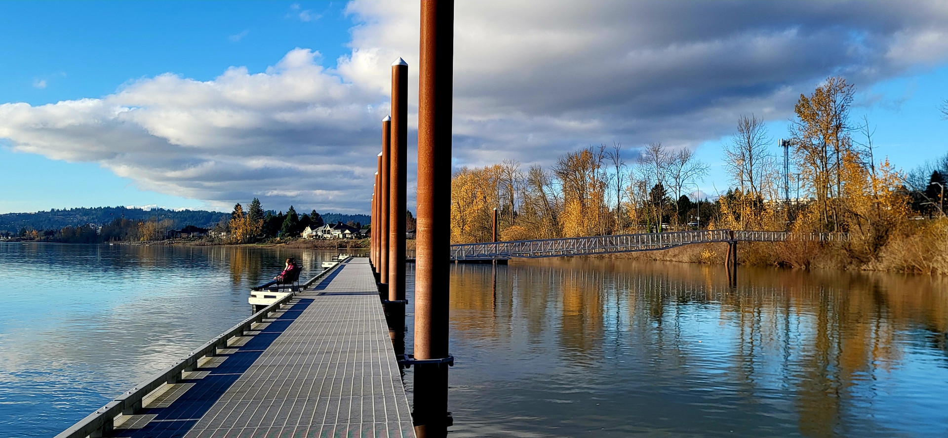
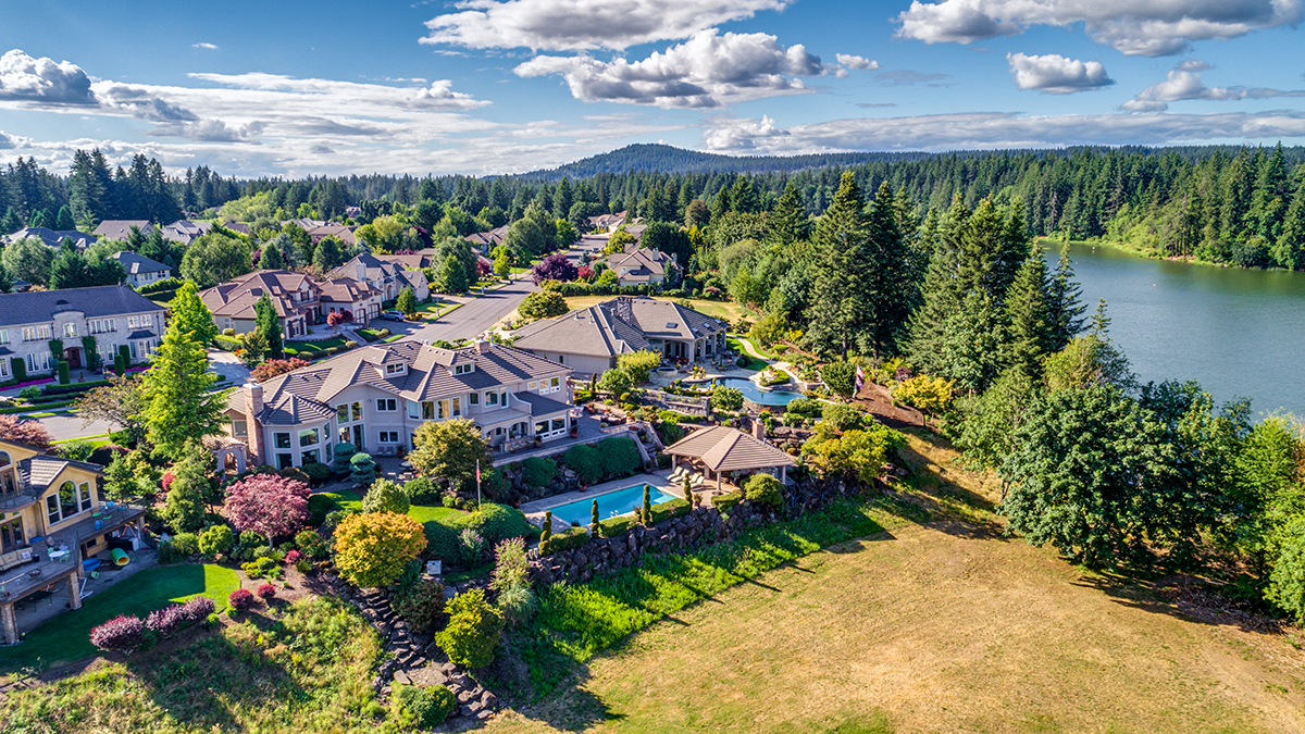
    The name nods to the steamboat era on the Columbia, when paddle wheelers carried goods and passengers along the river. Check local signage or the city’s site for current facilities, since amenities and access points can change.

    Many visitors pair a riverside stop with a short walk along nearby open spaces. The water level and wind can shift with weather and seasonal flows, so pay attention to posted safety signs near the shore.

    What Is the Pendleton Mill Area Like?

    The Pendleton mill area reflects Washougal’s long tie to wool and textile manufacturing. The mill remains a working facility, so visitors should view it from public spaces. Ask locally or check the city’s website about any tours or historical displays before you go.

    Stay on public roads and sidewalks around the site, and avoid entering areas marked private. Photos from public spaces capture the building details well, especially in morning light.

    Locals in the area often share stories about working at the mill, and those personal memories help bring the place to life. If you’re curious, a conversation at a local shop or café can be a friendly way to learn more.

    How Can You Plan a Relaxed Waterfront Picnic?

    A picnic works well on the Washougal waterfront because you can bring food and eat near the water. Pack a cooler, blankets, and reusable containers. Choose a shaded spot if the afternoon turns warm, and take your trash home with you. Pack a light lunch so you can eat right by the water without searching for a meal.

    Bring more water than you think you need and a hat. Some riverside areas have limited shade, so plan around the sun. Restrooms and food options may be limited, so check ahead before you go.

    Pack out everything you bring in, and keep food away from wildlife, including gulls that may approach. Consider a lightweight blanket, since benches are not always nearby.

    When Is the Best Time for a Waterfront Visit?

    Late spring through early fall offers the most comfortable conditions for a riverside stroll. Temperatures are typically mild, and the weather is generally drier than in winter. Weekday mornings bring quieter paths, while weekend afternoons draw more visitors. Check the forecast before you go, since wind can pick up on the river.

    Winter visits have their own appeal, with fewer people and a moody river view. Just dress warmly and check road conditions if rain or ice is in the forecast.

    Consider a stop in the surrounding area after your waterfront visit, since the Clark County region has many small towns within a short drive.

    Frequently Asked Questions

    Is the Washougal waterfront good for families?

    Families often enjoy the open space and river views, especially on mild days. Keep children close to the shoreline, since river currents and uneven ground can be hazardous. Pack snacks and water, and plan shade breaks. Strollers may manage paved sections but not every path, so check conditions first.

    Is Parking Easy Near the Waterfront?

    Parking near the river can be limited, especially on sunny weekends and during popular events. Arriving early gives you the best chance of finding a space. Read posted signs carefully, since time limits and restricted zones can apply. If the lot is full, look for other posted public spaces.

    How long should I plan for a visit?

    A relaxed waterfront visit can fill two to three hours, including a walk and a short rest by the water. Add more time for lunch, a picnic, or a stop in the mill district. A full half day works well if you want to explore without hurrying.

  • A Day Trip to Downtown Camas from Vancouver WA

    Downtown Camas makes an easy day trip from Vancouver, Washington, with a walkable core, local shops, and a strong connection to the town’s papermaking past. The town sits just east of Vancouver, so the drive takes only a short time. Plan a relaxed pace, since many stops sit within walking distance of each other.

    How Do You Get to Downtown Camas?

    Downtown Camas is reached by driving east from Vancouver on the main routes that connect the two cities. Once you arrive, park on a side street or in a public lot near the central blocks. Travel time shifts with traffic, so check a live map before you leave. Mid-morning on a weekday tends to be easier than rush hour.

    If you’re coming on a weekend, arrive early to find parking near the center. Downtown events can draw crowds, so check event listings from the city before you plan around a specific date.

    Parking on side streets may have time limits, so read the posted signs before you walk away. A quick look at the map before you park saves time, especially if you’re visiting for the first time.

    What Are the Top Things to See Downtown?

    Downtown Camas rewards slow wandering on foot. Visitors often browse local shops, stop for coffee or lunch, and admire the older buildings that line the central streets. Most stops sit close together, so you can cover the core in an hour or two. Keep an eye out for public art along the way.
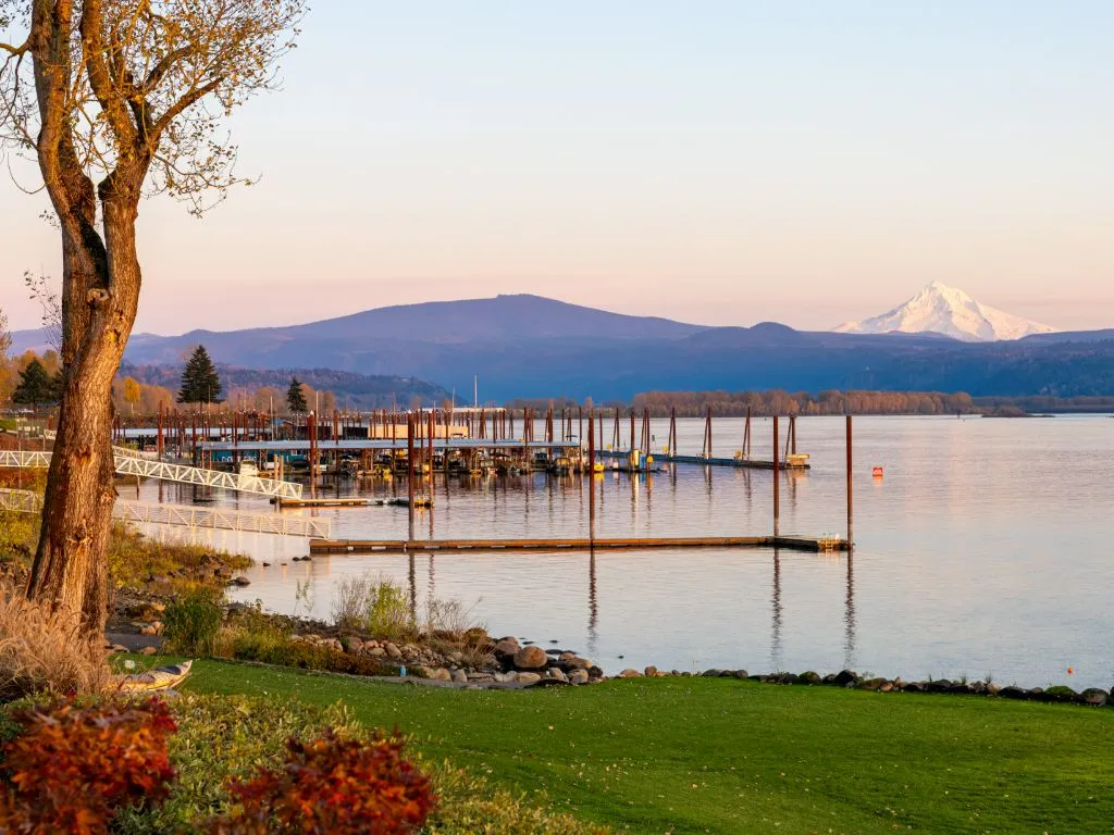
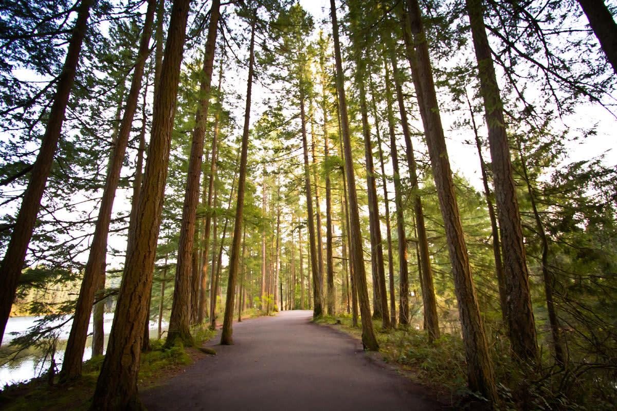
    The town’s papermaking history is a big part of its identity. Locals often talk about the mill era with pride, and that history shows up in the architecture and place names. Many family histories in town connect back to those years. Check the city’s website or a local historical society for current exhibits, since hours and displays change over time.

    Give yourself time to linger near the central blocks, where benches and open sidewalks make a good spot to people-watch. Early evening light also makes photos look warm.

    Where Should You Eat and Shop in Camas?

    Downtown Camas has a mix of cafes, casual restaurants, and small retail stores that suit a relaxed lunch break. Many visitors plan a midday meal and then browse shops on the same walk. Hours vary by business and season, so call ahead if you’re planning a specific time.

    Weekend afternoons can get busy, so reserve a table if the place takes reservations. Pack a reusable bag for shopping, and consider a picnic in a nearby park if the weather is nice.

    If you enjoy a sweet treat, look for bakeries and ice cream stops along the main street. Many local spots have a loyal following, and asking a shop owner for a favorite is a friendly way to start a conversation.

    When Is the Best Time for a Downtown Visit?

    Late spring and early fall are often pleasant for strolling, with mild temperatures and fewer crowds than summer weekends. Weekday mornings bring the quietest sidewalks. Pack a light rain jacket in any season, since Pacific Northwest weather changes quickly. Summer evenings can be pleasant too, though some businesses may keep shorter hours.

    Holiday weeks may bring festive events and busier streets. Plan a flexible schedule so you can enjoy the town without rushing from one stop to the next.

    Practical Tips for Getting Around Downtown Camas

    Most of downtown Camas is walkable, so leaving the car parked for a while makes sense. Sidewalks and crosswalks can be busy near lunchtime, so watch for traffic at intersections. Wear comfortable shoes and plan rest breaks on benches or in cafes.

    Accessibility varies by building, so check entrances before you go if you use a wheelchair or stroller. Bring water, since summer days can warm up quickly. Finish with a short drive back to Vancouver, which is usually quick outside rush hour.

    Frequently Asked Questions

    Is downtown Camas a good place for kids?

    Downtown Camas is a comfortable place for families who enjoy short walks and window browsing. Keep little ones close near busy streets and crosswalks. Strollers work on most sidewalks, though older buildings may have steps or narrow entries. Plan breaks often so everyone stays happy.

    Is parking hard to find?

    Parking is usually easiest on weekday mornings, when many spots turn over quickly. Weekend afternoons can fill up near the central blocks. Look for side streets a few minutes’ walk from the core, and check posted signs for time limits. Rules can change, so read each sign carefully. Pack snacks, too.

    How long should a day trip take?

    Many visitors spend around three to five hours exploring downtown, including a lunch stop and a few shops. Add more time if you plan to visit nearby parks or the lake. A relaxed pace suits most people, so avoid packing too many stops into one day.

  • Lacamas Lake and Lacamas Regional Park: A Trip from Vancouver WA to Camas

    Lacamas Lake is a rewarding day trip from Vancouver, Washington, with water views, walking trails, and room to spread out. The lake sits in the city of Camas, an easy drive east of Vancouver. Weekday mornings tend to be the calmest time to visit, especially outside peak summer months.

    How Do You Get to Lacamas Lake from Vancouver?

    Lacamas Lake is reached by driving east from Vancouver into Camas, using the main highways that link the two cities. Travel time depends on traffic and your starting point, so check a live map before you leave. Plan extra minutes for weekday commute hours, when the roads around both towns get busy.

    Once you arrive in Camas, follow the signs to the lake and park. Lacamas Regional Park is spread along the shoreline, so you can pick a spot near the water or walk a longer loop. Bring water and a map, since cell signal can be patchy on some trails.

    If you’re visiting from out of town, load your route into your phone before leaving Vancouver, so you aren’t guessing at turns.

    What Can You Do at Lacamas Lake?

    Lacamas Lake offers walking, picnicking, paddling, and fishing, depending on the season and local rules. Most visitors come to walk the shoreline and watch birds on the water. Rules on boats and fishing can change, so confirm current regulations with the managing agency or the Washington Department of Fish and Wildlife before you go.

    Families often head for the open grassy areas, while trail users prefer the quieter stretches. Bring layers, since the breeze off the water can feel cool even on warm days. If you bring a dog, check the park’s pet rules first, since they can vary from one area to another.

    Birders often spot waterfowl and songbirds along the shore, especially in cooler months. Bring a field guide or a bird identification app to name what you see.

    When Is the Best Time to Visit Lacamas Lake?

    Spring and early fall suit most visitors, since temperatures are mild and crowds are lighter than in midsummer. Weekday mornings offer the quietest conditions. Winter brings bare trees and cooler air, which some walkers prefer. Check local weather before you go, because rain can make trails muddy.
    Sunny weekends in summer can fill parking quickly. Arriving before late morning gives you the best chance of a space. Pack a lunch so you’re not relying on nearby food options, which may be limited. Pack out everything you bring in, which keeps the shoreline clean for the next visitor. Early spring can bring rain, so check the forecast the night before.

    What Should You Pack for a Lacamas Lake Visit?

    Pack water, sun protection, comfortable walking shoes, and a light jacket, because weather around the lake can shift quickly. Bring a map or downloaded trail guide, since signal may drop in places. A pair of binoculars helps with birdwatching. Keep a small bag for trash and leave the shoreline as you found it.

    Accessibility matters too. Ask the managing agency about paved routes and accessible restrooms before you visit, since conditions on unpaved paths can vary after storms. Let someone know your plans if you’re hiking alone, and carry a charged phone for emergencies.

    Is There More to See Near Lacamas Lake?

    Downtown Camas is a short drive from the lake and works well for lunch or a stroll afterward. Washougal’s riverfront lies a bit farther east, so combine stops only if you have a full day. Plan the route before leaving, since the drive between stops is short but traffic can slow near town centers.

    If you have extra time, a slow walk through nearby neighborhoods can pair well with the lake. Timing a visit around late afternoon gives softer light for photos, but plan a headlamp if you linger past dusk.

    Frequently Asked Questions

    Is Lacamas Lake suitable for children?

    Many families visit because open grassy areas and shoreline paths offer room to explore. Keep young children close to the water’s edge, since depths and slippery rocks can be hazards. Strollers may manage some paved sections, but rougher trails are better for sturdy shoes and carriers.

    Can I swim in Lacamas Lake?

    Swimming rules at Lacamas Lake can vary by area and season, so confirm before you get in. Water conditions change after rain, and lakes can hide underwater drop-offs. Many visitors prefer wading and watching from shore. Check the managing agency or local signage for current guidance before you plan a swim.

    How long should I plan to spend there?

    A relaxed visit can fill two or three hours, including a walk along the shoreline and a picnic. Longer hikes or paddling trips can stretch a half day. If you’re combining Lacamas Lake with downtown Camas, set aside most of a day. Start early in summer to avoid crowds and heat.