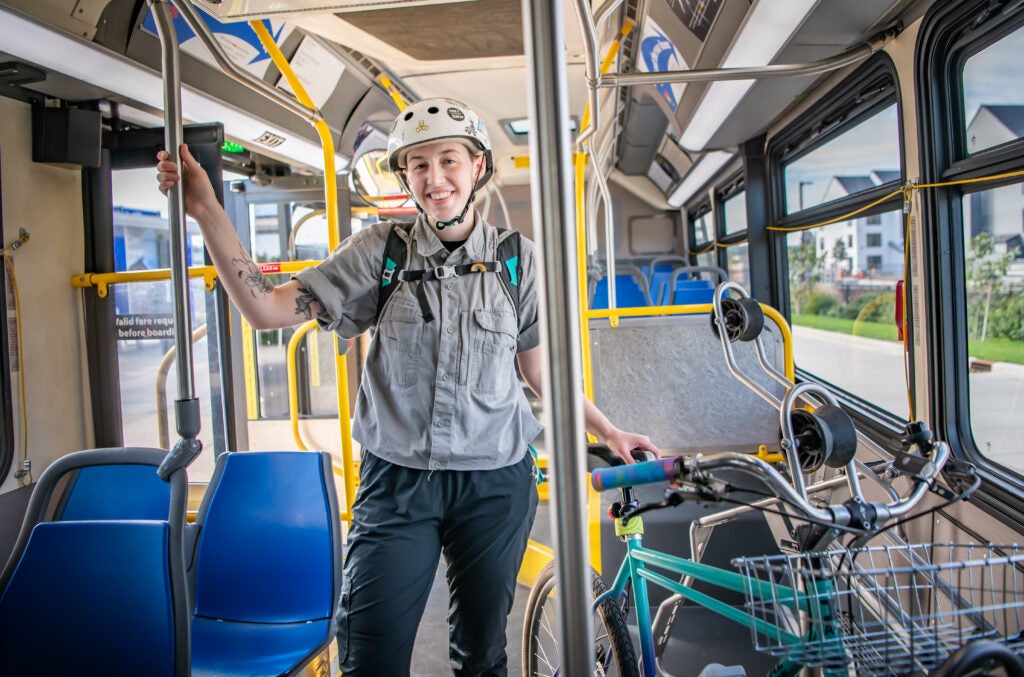
Driving is the most flexible way to explore Vancouver, Washington and nearby Clark County. C-TRAN buses and The Vine bus rapid transit cover many core routes, and biking works well on flat, paved paths along the river. Choose the mix that matches your schedule and comfort level.
How Easy Is Driving Around the Area?
Driving gives you the most freedom, especially for trips to Camas, Ridgefield, Battle Ground, and the Gorge. Main roads connect downtown with the surrounding towns, and traffic is usually heaviest during commute hours. Plan extra time when crossing the Columbia River bridges to Portland.
Parking varies by location. Downtown has metered and time-limited spaces in many blocks, while parks and trailheads usually offer lots. Have a payment method ready, since payment options vary by meter. Read posted signs carefully, and check the city’s website for current rules before you park.
How Do C-TRAN Buses Serve Visitors?
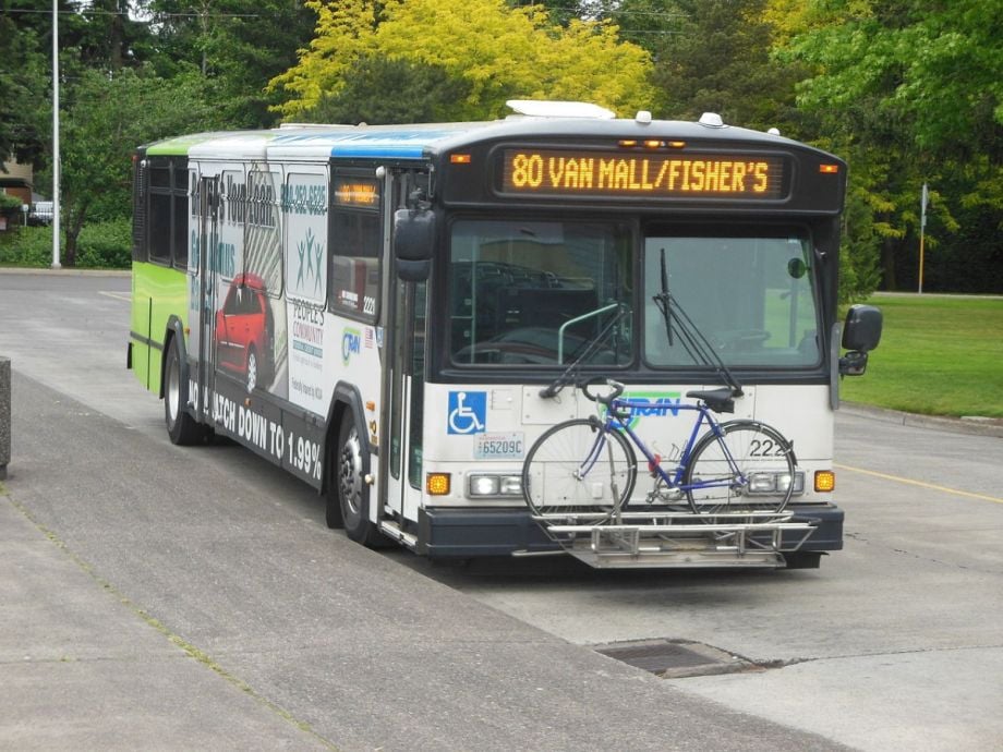
C-TRAN is the regional public transit agency serving Clark County, and its buses reach many downtown stops and neighborhoods. Routes run on fixed schedules, so check timetables before you head out. Fares and passes change over time, so confirm current payment options on the agency’s website.
Buses are a practical choice for a car-free day, especially if you plan to stay near the core. Pick up a route map at a transit center or download the schedule ahead of time. Allow extra time on weekends, when service can differ from weekday patterns.
What Is the Vine and Where Does It Run?
The Vine is C-TRAN’s bus rapid transit system, designed for faster trips with fewer stops along major corridors. It runs along busy routes such as Fourth Plain Boulevard, which connects several neighborhoods. Look for the branded stations, and check the system map before you board.
Riders heading toward Uptown Village or other east-side destinations may find The Vine handy, but confirm stop locations first, because routes and stations change over time. Plan trips around the schedule, since frequency can vary by time of day. Pair the ride with a walk for the last stretch.
Is Biking a Good Option for Visitors?
Yes, biking is a strong option for flat riverside routes and paved trails. The Columbia River Renaissance Trail and Burnt Bridge Creek Trail offer scenic, car-free paths through the city. If you plan to rent a bike, reserve ahead, especially on weekends. Carry water on longer rides.
Bring a helmet, a lock, and a basic repair kit if you ride your own bike. Wear bright clothing when you share roads, and follow Washington’s bicycle rules. Check the current trail map before departure, since construction may close sections. Ride single file and signal turns clearly.
How Do You Combine Modes for Day Trips?
Some visitors combine modes by driving to a park-and-ride, then riding a bus or biking the final stretch. This approach avoids parking headaches at busy waterfront spots. Check transit timetables first, because rural routes often run less frequently. Store snacks and a light jacket in a small backpack before you start.
Keep the plan flexible, and bring a small pack for snacks and rain gear. Build in buffer time for transfers, and keep your phone charged for route apps. Expect some delays, especially on weekends, and let the day unfold at a comfortable pace.
Which Option Fits Your Trip Best?
Driving suits families, day-trippers, and anyone carrying gear. Buses work for car-free city days and budget travelers who stick to central routes. Biking rewards riders who enjoy flat, scenic paths and short distances. Many trips mix all three, so keep each option open as you plan.
Check current schedules and route maps before each day, since transit service changes. Confirm bike rules and parking details on official sites before you go. Choose the mix that fits your energy, your budget, and your tolerance for surprises.
Frequently Asked Questions
Can you get around Vancouver WA without a car?
Yes, for city sightseeing, especially downtown and near the riverfront. C-TRAN buses and walking cover many core stops, and rideshares fill gaps. Day trips to Camas, Ridgefield, or the Gorge are harder without a car, so plan a tour or rental if needed. Check schedules first.
Is The Vine faster than a regular bus?
The Vine is designed to move riders more quickly along its corridors, with fewer stops than standard routes. Actual travel times depend on traffic and the specific trip. Compare the trip planner or the printed schedule before deciding, and allow extra time for transfers.
Is biking around the area practical for visitors?
Biking works well on the riverfront and paved trails, which are separated from heavy traffic in many places. Busier streets require more caution, so choose routes with bike lanes when possible. Wear a helmet, use lights at dusk, and check conditions before setting out.